![](/images/other/stat-length.png)
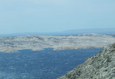
![Tour Zu Fuß Unknown - Bačić kuk iz Ravnog Dabra preko Bačić dulibe i Ripinovca - Photo](https://media.geolcdn.com/t/1900/400/d8704096-4b2c-408f-a8a9-50355c2bdd68.jpeg&format=pjpeg&maxdim=2)
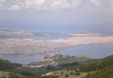
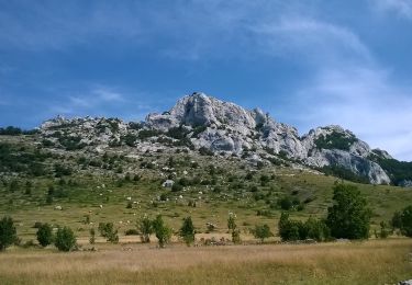
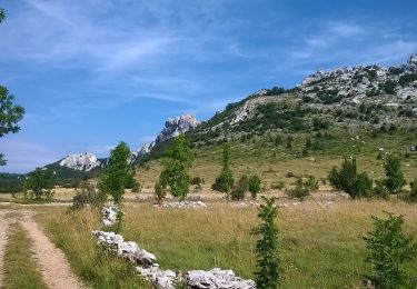
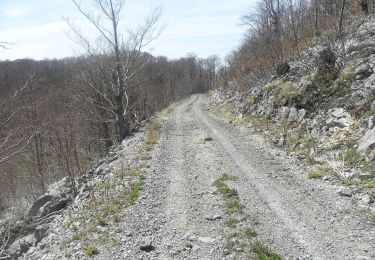
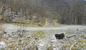
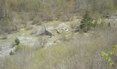
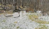
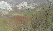
Bačić kuk iz Ravnog Dabra preko Bačić dulibe i Ripinovca
SityTrail - itinéraires balisés pédestres
Tous les sentiers balisés d’Europe GUIDE+
![Länge](/images/other/stat-length.png)
Länge
4,7 km
![Maximale Höhe](https://static1.geolcdn.com/siteimages/upload/files/1508320355ic_sort_altitude_max_24dp.png)
Maximale Höhe
1269 m
![Positive Höhendifferenz](https://static1.geolcdn.com/siteimages/upload/files/1508320355ic_sort_den_pos_24dp.png)
Positive Höhendifferenz
55 m
![Km-Effort](/images/other/stat-length.png)
Km-Effort
7,2 km
![Min. Höhe](https://static1.geolcdn.com/siteimages/upload/files/1508320355ic_sort_altitude_min_24dp.png)
Min. Höhe
733 m
![Negative Höhendifferenz](https://static1.geolcdn.com/siteimages/upload/files/1508320355ic_sort_den_neg_24dp.png)
Negative Höhendifferenz
588 m
![Boucle](https://static1.geolcdn.com/siteimages/upload/files/16400158638029165_repeat_loop_refresh_sync_direction_icon.png)
Boucle
Nein
Kennzeichnung
Erstellungsdatum :
2025-02-07 18:04:20.924
Letzte Änderung :
2025-02-07 18:04:20.924
![Zu Fuß](https://static1.geolcdn.com/sitytour/trail-icons/100.png)
1h37
Schwierigkeit : Einfach
![Scannen Sie diesen QR-Code, um die Tour in der SityTrail-Anwendung zu öffnen](https://capi.geolives.com/qq0zvz2zws4bq2lad0pu/sitytour/trails/4346464/qr.png?size=200)
Kostenlosegpshiking-Anwendung
Über SityTrail
Tour Zu Fuß von 4,7 km verfügbar auf Unbekannt, Gespanschaft Lika-Senj. Diese Tour wird von SityTrail - itinéraires balisés pédestres vorgeschlagen.
Beschreibung
Tour erstellt von HPD Zagreb-Matica, Zagreb.
Ort
Land:
Croatia
Region :
Unbekannt
Abteilung/Provinz :
Gespanschaft Lika-Senj
Kommune :
Unknown
Standort:
Unknown
Gehen Sie:(Dec)
Gehen Sie:(UTM)
507632 ; 4936234 (33T) N.
Kommentare
Touren in der Umgebung
![Tour Zu Fuß - Dabarska Kosa - Photo](https://media.geolcdn.com/t/375/260/935528d5-1608-4982-8fa2-359bf773c124.jpeg&format=jpg&maxdim=2)
![Zu Fuß Zu Fuß](https://static1.geolcdn.com/sitytour/trail-icons/100.png)
Dabarska Kosa
Zu Fuß
Einfach
,
Unbekannt,
Gespanschaft Lika-Senj,
Croatia
![](/images/other/stat-length.png)
7 km | 10 km-effort
2h 16min
![](https://static1.geolcdn.com/siteimages/upload/files/16400158638029165_repeat_loop_refresh_sync_direction_icon.png)
Nein
![Tour Zu Fuß - Dabri und Dabarski kukovi - Photo](https://media.geolcdn.com/t/375/260/a3fc5cbc-c56a-4353-8e9f-847f775b7f23.jpeg&format=jpg&maxdim=2)
![Zu Fuß Zu Fuß](https://static1.geolcdn.com/sitytour/trail-icons/100.png)
Dabri und Dabarski kukovi
Zu Fuß
Einfach
,
Unbekannt,
Gespanschaft Lika-Senj,
Croatia
![](/images/other/stat-length.png)
11,8 km | 17,5 km-effort
3h 58min
![](https://static1.geolcdn.com/siteimages/upload/files/16400158638029165_repeat_loop_refresh_sync_direction_icon.png)
Nein
![Tour Zu Fuß - Ravni dabar do Alaginca preko Crnog dabra - Photo](https://media.geolcdn.com/t/375/260/44308a08-29b0-4c7d-91b3-8b16213eb85c.jpeg&format=jpg&maxdim=2)
![Zu Fuß Zu Fuß](https://static1.geolcdn.com/sitytour/trail-icons/100.png)
Ravni dabar do Alaginca preko Crnog dabra
Zu Fuß
Einfach
,
Unbekannt,
Gespanschaft Lika-Senj,
Croatia
![](/images/other/stat-length.png)
4,9 km | 11,4 km-effort
2h 34min
![](https://static1.geolcdn.com/siteimages/upload/files/16400158638029165_repeat_loop_refresh_sync_direction_icon.png)
Nein
![Tour Zu Fuß - Grebenski put kroz Dabarske kukove - Photo](https://media.geolcdn.com/t/375/260/6078a130-33f5-43a0-ba0a-a1b94e9a4dfb.jpeg&format=jpg&maxdim=2)
![Zu Fuß Zu Fuß](https://static1.geolcdn.com/sitytour/trail-icons/100.png)
Grebenski put kroz Dabarske kukove
Zu Fuß
Einfach
,
Unbekannt,
Gespanschaft Lika-Senj,
Croatia
![](/images/other/stat-length.png)
4 km | 7,4 km-effort
1h 40min
![](https://static1.geolcdn.com/siteimages/upload/files/16400158638029165_repeat_loop_refresh_sync_direction_icon.png)
Nein
![Tour Zu Fuß - Od magistrale do Premužićeve staze (Splovine) preko Radlovca - Photo](https://media.geolcdn.com/t/375/260/9a432c00-eef7-49e7-9fb3-0eb8fe4d1213.jpeg&format=jpg&maxdim=2)
![Zu Fuß Zu Fuß](https://static1.geolcdn.com/sitytour/trail-icons/100.png)
Od magistrale do Premužićeve staze (Splovine) preko Radlovca
Zu Fuß
Einfach
,
Unbekannt,
Gespanschaft Lika-Senj,
Croatia
![](/images/other/stat-length.png)
9,1 km | 13,1 km-effort
2h 58min
![](https://static1.geolcdn.com/siteimages/upload/files/16400158638029165_repeat_loop_refresh_sync_direction_icon.png)
Nein
![Tour Zu Fuß - Šatorina od Kugine kuće - Photo](https://media.geolcdn.com/t/375/260/55440547-ffac-4a10-a8f7-3d6468d46aeb.jpeg&format=jpg&maxdim=2)
![Zu Fuß Zu Fuß](https://static1.geolcdn.com/sitytour/trail-icons/100.png)
Šatorina od Kugine kuće
Zu Fuß
Einfach
,
Unbekannt,
Gespanschaft Lika-Senj,
Croatia
![](/images/other/stat-length.png)
4,3 km | 8,5 km-effort
1h 56min
![](https://static1.geolcdn.com/siteimages/upload/files/16400158638029165_repeat_loop_refresh_sync_direction_icon.png)
Nein
![Tour Zu Fuß - Kugina kuća od Premužićeve staze kod Skorpovca - Photo](https://media.geolcdn.com/t/375/260/b0f78ffd-a4f9-4305-8a45-70144e484edb.jpeg&format=jpg&maxdim=2)
![Zu Fuß Zu Fuß](https://static1.geolcdn.com/sitytour/trail-icons/100.png)
Kugina kuća od Premužićeve staze kod Skorpovca
Zu Fuß
Einfach
,
Unbekannt,
Gespanschaft Lika-Senj,
Croatia
![](/images/other/stat-length.png)
4,3 km | 7,5 km-effort
1h 42min
![](https://static1.geolcdn.com/siteimages/upload/files/16400158638029165_repeat_loop_refresh_sync_direction_icon.png)
Nein