


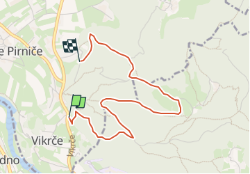

3,1 km | 6 km-effort


Tous les sentiers balisés d’Europe GUIDE+


Kostenlosegpshiking-Anwendung
 SityTrail
IGN / Geografische Institute
SityTrail World
Die Welt öffnet sich für Sie
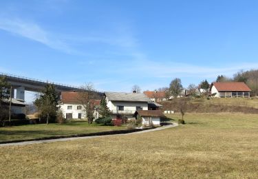
Tour Zu Fuß von 3,8 km verfügbar auf Unbekannt, Unbekannt, Zwischenwassern. Diese Tour wird von SityTrail - itinéraires balisés pédestres vorgeschlagen.
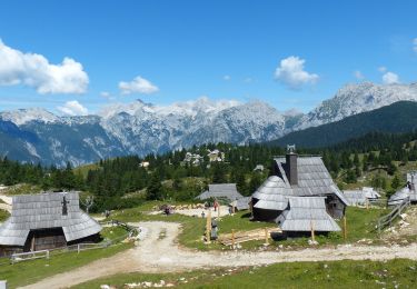
Tour erstellt von Zavod za gozdove Slovenije, Območna enota Ljubljana.


Zu Fuß
Zu Fuß
Zu Fuß
Zu Fuß
Zu Fuß
Zu Fuß
Zu Fuß
Wandern
Zu Fuß