


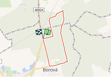

8 km | 9 km-effort

Tous les sentiers balisés d’Europe GUIDE+


Kostenlosegpshiking-Anwendung
 SityTrail
IGN / Geografische Institute
SityTrail World
Die Welt öffnet sich für Sie
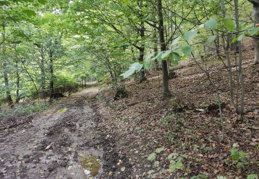
Tour Zu Fuß von 5,8 km verfügbar auf Mährisch-Schlesien, Mährisch-Schlesische Region, Bolatitz. Diese Tour wird von SityTrail - itinéraires balisés pédestres vorgeschlagen.
Tour erstellt von Obec Bolatice.


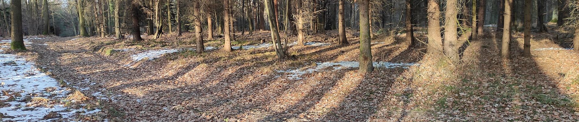
Zu Fuß
Zu Fuß
Zu Fuß
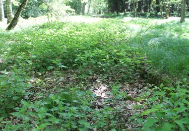
Zu Fuß
Zu Fuß
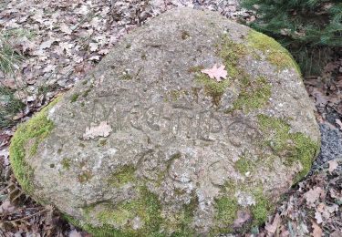
Zu Fuß
Zu Fuß
Zu Fuß
Zu Fuß