


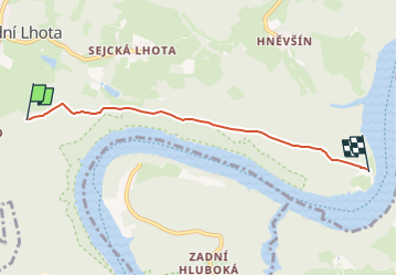

12,6 km | 16,3 km-effort


Tous les sentiers balisés d’Europe GUIDE+


Kostenlosegpshiking-Anwendung
 SityTrail
IGN / Geografische Institute
SityTrail World
Die Welt öffnet sich für Sie
Tour Zu Fuß von 4,1 km verfügbar auf Mittelböhmen, Unbekannt, Chotilsko. Diese Tour wird von SityTrail - itinéraires balisés pédestres vorgeschlagen.
Tour erstellt von cz:KČT.
Zu Fuß
Zu Fuß
![Tour Zu Fuß Chotilsko - [Z] Nahoruby - Živohošťský most - Photo](https://media.geolcdn.com/t/375/260/fa260171-e240-419e-a8d3-5f7efb5b52f4.jpeg&format=jpg&maxdim=2)
Zu Fuß
![Tour Zu Fuß Neu-Knin - [Z] Stožec - Malá Hraštice - Photo](https://media.geolcdn.com/t/375/260/9257ad78-48c4-4122-a68f-6fad4853c234.jpeg&format=jpg&maxdim=2)
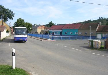
Zu Fuß
![Tour Zu Fuß Tschim - [Z] Štěchovice-Čím - Photo](https://media.geolcdn.com/t/375/260/011f8775-be8f-443d-893b-fd9b18fb4d4b.jpeg&format=jpg&maxdim=2)
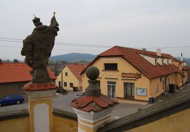
Zu Fuß
![Tour Zu Fuß Chotilsko - [Z] Záhoří-Nad Sejckou hájovnou - Photo](https://media.geolcdn.com/t/375/260/ext.jpg?maxdim=2&url=https%3A%2F%2Fstatic1.geolcdn.com%2Fsiteimages%2Fupload%2Ffiles%2F1545311037marcheuse_200dpi.jpg)
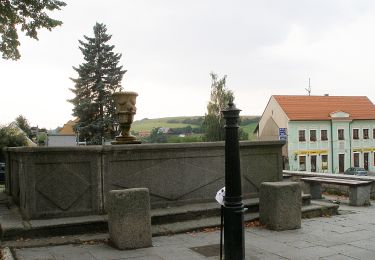
Zu Fuß
Zu Fuß
Zu Fuß
Zu Fuß