


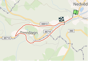

10,6 km | 12,6 km-effort

Tous les sentiers balisés d’Europe GUIDE+


Kostenlosegpshiking-Anwendung
 SityTrail
IGN / Geografische Institute
SityTrail World
Die Welt öffnet sich für Sie
Tour Zu Fuß von 3,3 km verfügbar auf Südosten, Südmährische Region, Nedvědice. Diese Tour wird von SityTrail - itinéraires balisés pédestres vorgeschlagen.
Tour erstellt von městys Nedvědice.
Website: http://www.pernstejnsko.cz/naucne-stezky/


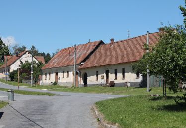
![Tour Zu Fuß Kunstadt - [Ž] Svitávka - Rudka - Photo](https://media.geolcdn.com/t/375/260/94d66308-b810-471c-9787-b29d9f662f14.jpeg&format=jpg&maxdim=2)
Zu Fuß
Zu Fuß
Zu Fuß
Zu Fuß
Zu Fuß
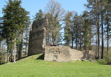
![Tour Zu Fuß Neustadtl in Mähren - [M] Ochoza - okruh, local - Photo](https://media.geolcdn.com/t/375/260/dce1f716-3160-4704-a566-a47335ab040b.jpeg&format=jpg&maxdim=2)
Zu Fuß
Zu Fuß
Zu Fuß
Zu Fuß