


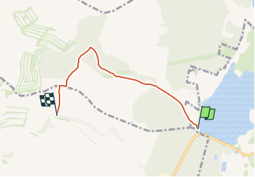

5,7 km | 7,9 km-effort

Tous les sentiers balisés d’Europe GUIDE+


Kostenlosegpshiking-Anwendung
 SityTrail
IGN / Geografische Institute
SityTrail World
Die Welt öffnet sich für Sie
Tour Zu Fuß von 4 km verfügbar auf Südosten, Südmährische Region, Dubnian. Diese Tour wird von SityTrail - itinéraires balisés pédestres vorgeschlagen.
Tour erstellt von cz:KČT.
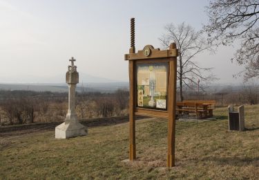
Jarohněvický rybník - Památník Moravské rovnosti


Zu Fuß
Zu Fuß
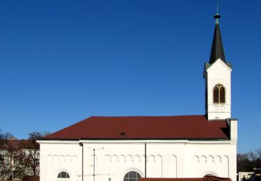
![Tour Zu Fuß Steinitz - [Ž] Černčín - Bučovice - Photo](https://media.geolcdn.com/t/375/260/0e8a5bf5-67a6-4aaf-a695-d3a2c91aad48.jpeg&format=jpg&maxdim=2)
Zu Fuß
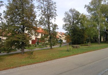
![Tour Zu Fuß Osvětimany - [Ž] Osvětimany - Cimburk - Photo](https://media.geolcdn.com/t/375/260/15372c2e-66a9-4cae-88d5-9ba2e0c3fa37.jpeg&format=jpg&maxdim=2)
Zu Fuß
Zu Fuß
Zu Fuß
Zu Fuß
Zu Fuß