


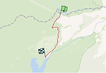

10,6 km | 13,7 km-effort

Tous les sentiers balisés d’Europe GUIDE+


Kostenlosegpshiking-Anwendung
 SityTrail
IGN / Geografische Institute
SityTrail World
Die Welt öffnet sich für Sie
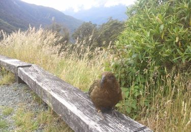
Tour Zu Fuß von 5,4 km verfügbar auf Southland, Southland District, Tuatapere Te Waewae Community. Diese Tour wird von SityTrail - itinéraires balisés pédestres vorgeschlagen.
Tour erstellt von Department of Conservation.


Zu Fuß
Zu Fuß
Zu Fuß