


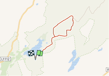

9,4 km | 12 km-effort

Tous les sentiers balisés d’Europe GUIDE+


Kostenlosegpshiking-Anwendung
 SityTrail
IGN / Geografische Institute
SityTrail World
Die Welt öffnet sich für Sie
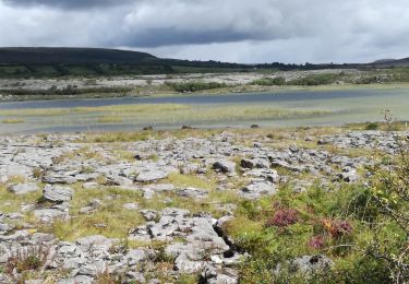
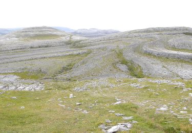
Tour Zu Fuß von 5,3 km verfügbar auf Unbekannt, County Clare, West Clare Municipal District. Diese Tour wird von SityTrail - itinéraires balisés pédestres vorgeschlagen.
Tour erstellt von Burren National Park.
Symbol: blue dot


Wandern
Wandern

Wandern
Wandern
Wandern
Wandern

Auto
Zu Fuß