


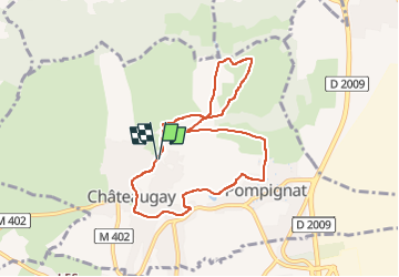

5,5 km | 7,2 km-effort

Benutzer GUIDE


Kostenlosegpshiking-Anwendung
 SityTrail
IGN / Geografische Institute
SityTrail World
Die Welt öffnet sich für Sie
Tour Wandern von 7,9 km verfügbar auf Auvergne-Rhone-Alpen, Puy-de-Dôme, Châteaugay. Diese Tour wird von jagarnier vorgeschlagen.
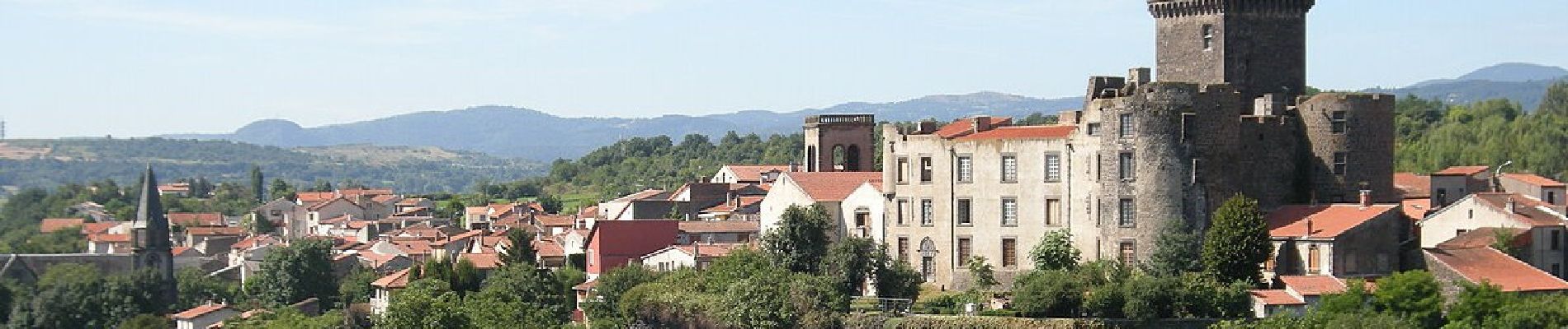
Une balade au cœur du vignoble de Châteauguay où les vignes courent sur des terrasses et les caves crèvent les coteaux. Plus haut sur le plateau où les bergers gardaient les moutons vous dominerez Châteauguay et le château de Tournoël .


Wandern

Wandern

Wandern

Mountainbike

Wandern

Zu Fuß

Zu Fuß
Zu Fuß

Zu Fuß