


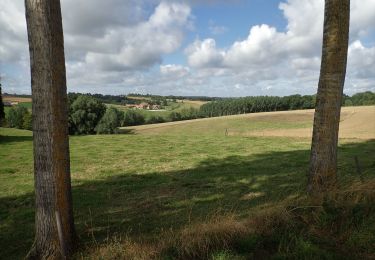
12,8 km | 15 km-effort


Benutzer


Kostenlosegpshiking-Anwendung
 SityTrail
IGN / Geografische Institute
SityTrail World
Die Welt öffnet sich für Sie
Tour Nordic Walking von 7,7 km verfügbar auf Wallonien, Wallonisch-Brabant, Nivelles. Diese Tour wird von denissculier vorgeschlagen.
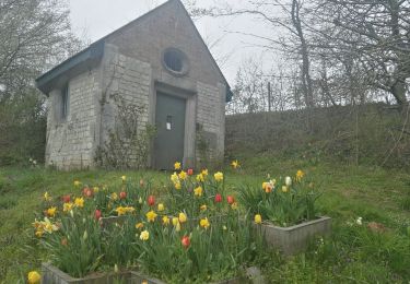
Du chemin d’Ève direction Haut-Ittre puis rejoindre Ittre en longeant le Ri-Ternel. Retour par la chapelle de la Sainte Famille et le vieux chemin de Nivelles.

Wandern

Wandern

Wandern

Wandern

Wandern

Wandern
Wandern

Wandern
Wandern