


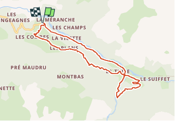

8,7 km | 12,4 km-effort


Benutzer


Kostenlosegpshiking-Anwendung
 SityTrail
IGN / Geografische Institute
SityTrail World
Die Welt öffnet sich für Sie
Tour Wandern von 9,7 km verfügbar auf Auvergne-Rhone-Alpen, Savoyen, Val-Cenis. Diese Tour wird von Mariolebeno vorgeschlagen.
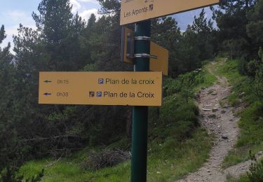
Accès par la navette gratuite au départ de Bramans, la route est interdite à tout véhicule.
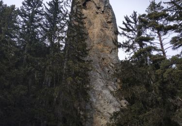
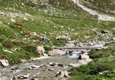
La partie en forêt qui emprunte la GRP tour de la Haute Maurienne, nécessite un peu d'attention, notamment pour la traversée du 1er torrent dans la forêt de Montbas.
une corde est présente pour sécuriser un petit passage mais elle est souvent prise par la neige l'hiver. En cas de neige gelée, il faut alors être vraiment sûr de soi.
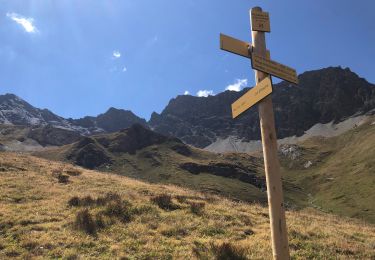
La chapelle de St Pierre d'Extravache vaut le détour

Laufen

Zu Fuß

Wandern
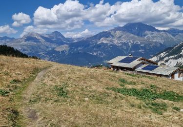
Wandern
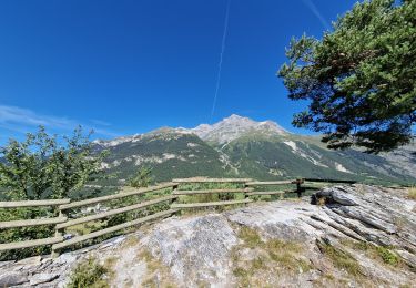
Wandern
Schneeschuhwandern
Wandern
Wandern
Wandern