


13,9 km | 18,4 km-effort


Benutzer


Kostenlosegpshiking-Anwendung
 SityTrail
IGN / Geografische Institute
SityTrail World
Die Welt öffnet sich für Sie
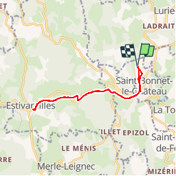
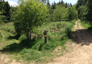
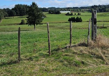
Tour Andere Aktivitäten von 13,8 km verfügbar auf Auvergne-Rhone-Alpen, Loire, Saint-Bonnet-le-Château. Diese Tour wird von GPit42 vorgeschlagen.
départ du parking de la boule Obut
aller retour jusqu'à la gare d'Estivareilles par l'ancienne voie de chemin de fer
possibilités de visiter le musée de la boule - de déjeuner au restaurant du carré Obut et de faire une partie de boules
Wandern
Pferd
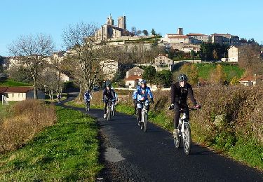
Mountainbike
Mountainbike
Wandern
Schwimmen

Wandern
Wandern

Reiten