


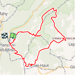

14,6 km | 23 km-effort


Benutzer


Kostenlosegpshiking-Anwendung
 SityTrail
IGN / Geografische Institute
SityTrail World
Die Welt öffnet sich für Sie
Tour Wandern von 24 km verfügbar auf Burgund und Freigrafschaft, Haute-Saône, Plancher-les-Mines. Diese Tour wird von grattounette vorgeschlagen.
plancher les mines, col d'auxelles, auxelles haut, col du querty, chauveroche, étang des belles filles, tête carré, GR533, planche des belles filles

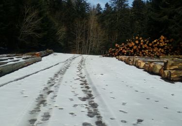
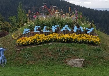
Wandern

Wandern

Wandern

Wandern

Wandern

Wandern

Wandern
Wandern
Wandern