


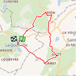

16,3 km | 21 km-effort

Benutzer


Kostenlosegpshiking-Anwendung
 SityTrail
IGN / Geografische Institute
SityTrail World
Die Welt öffnet sich für Sie
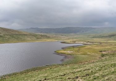
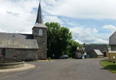
Tour Wandern von 14,7 km verfügbar auf Auvergne-Rhone-Alpen, Puy-de-Dôme, La Godivelle. Diese Tour wird von force vorgeschlagen.
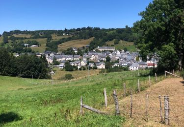
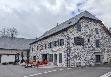
Le départ de La Godivelle est à 65 km de Royat (1h de voiture).
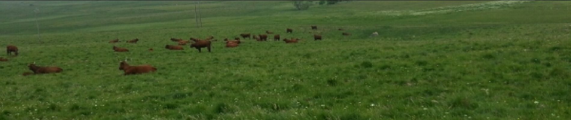
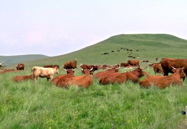
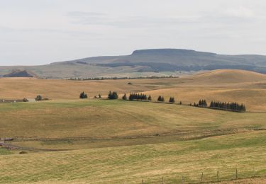
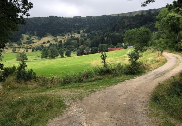
eaux paysages d'élevage de Salers Aubracs et Ferrandaises


Wandern
Zu Fuß
Zu Fuß
Wandern
Wandern
Wandern
Wandern
Wandern
Wandern