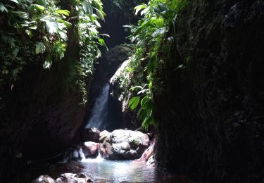
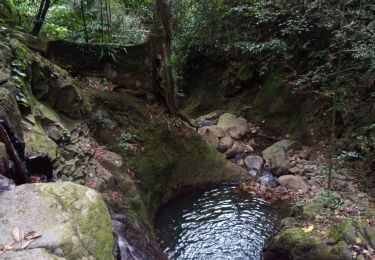
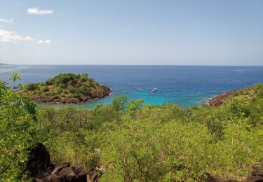
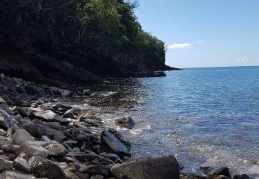
4,5 km | 6,9 km-effort
boucle vanilleraie
Hamac Camp Guadeloupe
Benutzer
Länge
157 m
Maximale Höhe
297 m
Positive Höhendifferenz
0 m
Km-Effort
170 m
Min. Höhe
276 m
Negative Höhendifferenz
4 m
Boucle
Nein
Erstellungsdatum :
2024-12-12 20:57:48.126
Letzte Änderung :
2024-12-12 21:04:08.051
6m
Schwierigkeit : Einfach
Kostenlosegpshiking-Anwendung
Über SityTrail
Tour Wandern von 157 m verfügbar auf Guadeloupe, Unbekannt, Bouillante. Diese Tour wird von Hamac Camp Guadeloupe vorgeschlagen.
Ort
Land:
France
Region :
Guadeloupe
Abteilung/Provinz :
Unbekannt
Kommune :
Bouillante
Standort:
Unknown
Gehen Sie:(Dec)
Gehen Sie:(UTM)
632959 ; 1786504 (20Q) N.
Kommentare
Touren in der Umgebung
Trou à Diable par la rivière Bourceau
Wandern
Einfach
Bouillante,
Guadeloupe,
Unbekannt,
France
12 km | 18,4 km-effort
3h 22min
Nein
Piton de Bouillante
Wandern
Medium
Petit-Bourg,
Guadeloupe,
Unbekannt,
France
11,3 km | 23 km-effort
3h 19min
Nein
Aquarando Rivière Losteau - Rivière Espérance
Wandern
Einfach
Bouillante,
Guadeloupe,
Unbekannt,
France
4,3 km | 6,5 km-effort
2h 17min
Ja
la mamelle au pigeon
Wandern
Einfach
Pointe-Noire,
Guadeloupe,
Unbekannt,
France
14 km | 19,1 km-effort
1h 24min
Nein
Trou à Diable
Wandern
Einfach
(1)
Bouillante,
Guadeloupe,
Unbekannt,
France
3,8 km | 5,9 km-effort
1h 22min
Ja
Pointe à Lézard - Anse à Sable
Wandern
Sehr leicht
Bouillante,
Guadeloupe,
Unbekannt,
France
4,6 km | 6,9 km-effort
1h 30min
Ja
Réserve Cousteau - Ilets Pigeons
Kanufahren - Kajakfahren
Sehr leicht
Bouillante,
Guadeloupe,
Unbekannt,
France
4,2 km | 4,6 km-effort
4h 41min
Ja
petit malendure
Wandern
Medium
Bouillante,
Guadeloupe,
Unbekannt,
France
3,8 km | 6,8 km-effort
2h 36min
Nein