


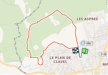

6,6 km | 8,2 km-effort


Benutzer


Kostenlosegpshiking-Anwendung
 SityTrail
IGN / Geografische Institute
SityTrail World
Die Welt öffnet sich für Sie
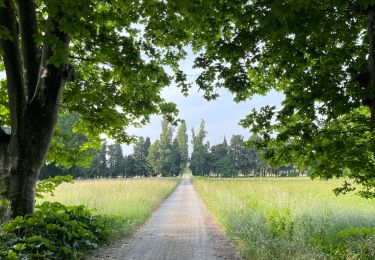
Tour Wandern von 5 km verfügbar auf Provence-Alpes-Côte d'Azur, Bouches-du-Rhône, Pélissanne. Diese Tour wird von Isabelle Llorca vorgeschlagen.
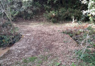
Balade facile, sur chemin large .
De la boue en début de chemin après les pluies

Andere Aktivitäten

Mountainbike
Andere Aktivitäten

Wandern

Mountainbike
Wandern
Wandern
Wandern
Wandern