


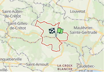

9,7 km | 12,5 km-effort


Benutzer


Kostenlosegpshiking-Anwendung
 SityTrail
IGN / Geografische Institute
SityTrail World
Die Welt öffnet sich für Sie
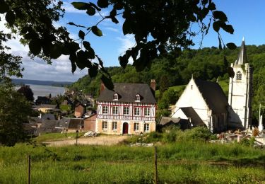
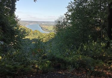
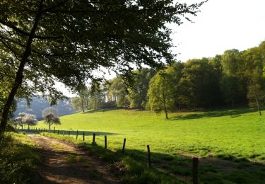
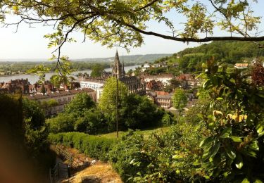
Tour Wandern von 12,1 km verfügbar auf Normandie, Seine-Maritime, Maulévrier-Sainte-Gertrude. Diese Tour wird von randovivi vorgeschlagen.
Départ Parking dans la forêt à coté des tables Pique Nique sur la gauche du hêtre Serpent. ( Cette Randonnée est plus dure qu'il n'y parait ) Pique Nique à prévoir en cours.
Wandern

Wandern

Wandern

Wandern
Wandern

Wandern
Wandern
Wandern

Wandern