


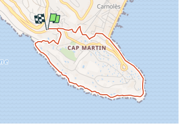

4,4 km | 5,9 km-effort


Benutzer


Kostenlosegpshiking-Anwendung
 SityTrail
IGN / Geografische Institute
SityTrail World
Die Welt öffnet sich für Sie
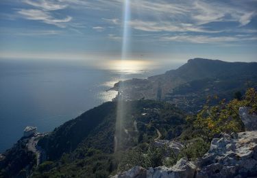
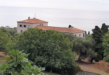
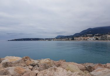
Tour Zu Fuß von 4,7 km verfügbar auf Provence-Alpes-Côte d'Azur, Seealpen, Roquebrune-Cap-Martin. Diese Tour wird von Alain Derrives vorgeschlagen.
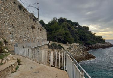
sentier le Corbusier et des douanier en allé retour a partir
de la pointe vieille ou de 27 Avenue Paul Doumer, 06190 Roquebrune-Cap-Martin

Wandern
Wandern


Wandern
Wandern

Wandern
Wandern
Wandern
Wandern