


8,5 km | 9,3 km-effort


Benutzer


Kostenlosegpshiking-Anwendung
 SityTrail
IGN / Geografische Institute
SityTrail World
Die Welt öffnet sich für Sie
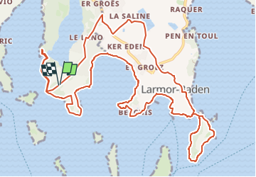
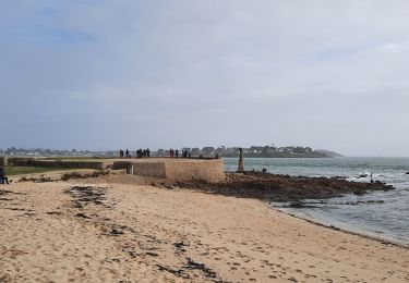
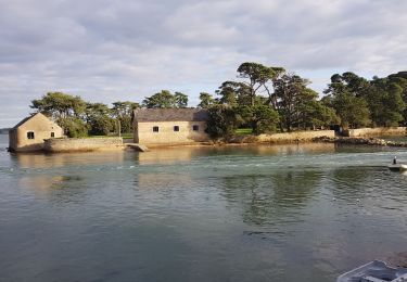
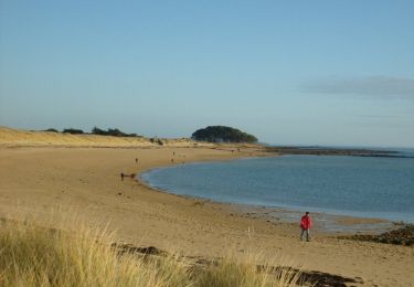
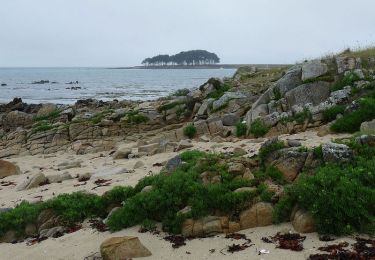
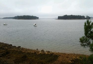
Tour Wandern von 15,7 km verfügbar auf Bretagne, Morbihan, Baden. Diese Tour wird von dmj41 vorgeschlagen.
Départ/Arrivée : Parking (en Forêt) Route de Toulvern (près du Dolmen de Toulvern) 56870 Baden
ou
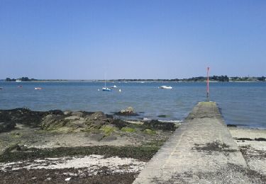
Parking des 7 Îles Route des 7 Îles 56870 Baden
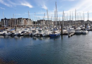
Suggestion : en fin de parcours, petit détour pour dégustation :
Les Huîtres d'Arz 46 route de Talvern 56870 Baden
et de
l'Huître La Toulverne Pointe de Toulvern, 56870 Baden
Wandern
Wandern
Wandern
Wandern
Wandern
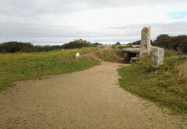
Wandern

Wandern
Wandern
Laufen