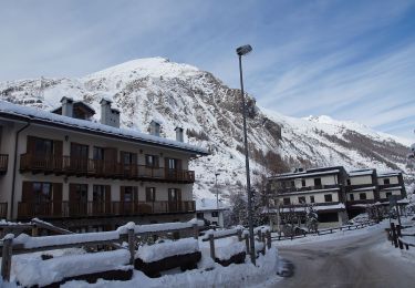
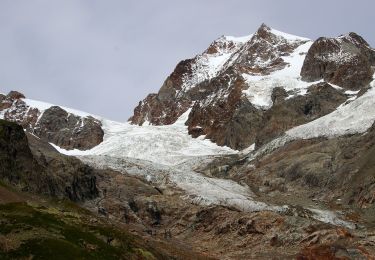
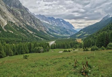
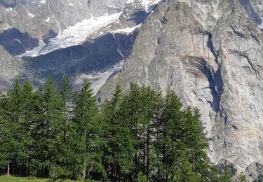
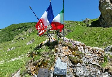
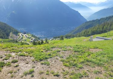
Tour Zu Fuß Courmayeur - GR Tour du Mont-Blanc (sans variante) - Photo

GR Tour du Mont-Blanc (sans variante)

 Julie LABBE
Julie LABBE

Benutzer

© OpenStreetMap contributors
Länge
Länge
31 km
Maximale Höhe
Maximale Höhe
2426 m
Positive Höhendifferenz
1992 m
Km-Effort
Km-Effort  
57 km
Min. Höhe
Min. Höhe
1173 m
Negative Höhendifferenz
1907 m
Boucle
Boucle
Nein
Erstellungsdatum :
2024-11-11 13:04:35.088
Letzte Änderung :
2025-01-03 12:38:22.44

(0 Nachricht)

Zu Fuß
Zu Fuß
12h58
Schwierigkeit : Sehr schwierig

Scannen Sie diesen QR-Code, um die Tour in der SityTrail-Anwendung zu öffnen

Kostenlosegpshiking-Anwendung

Logo SityTrail SityTrail

IGN / Geografische Institute

SityTrail aus dem App Store herunterladen SityTrail von Google Play herunterladen

Logo SityTrail SityTrail World

Die Welt öffnet sich für Sie

SityTrail aus dem App Store herunterladen SityTrail von Google Play herunterladen SityTrail auf Huawei AppGallery herunterladen

Über SityTrail

Tour Zu Fuß von 31 km verfügbar auf Aostatal, Unbekannt, Courmayeur. Diese Tour wird von Julie LABBE vorgeschlagen.

Höhenprofil

POIs

POI Les Houches - Les Houches - Photo
Julie LABBE
LES HOUCHES 
POI Les Houches - Les Crêts - Photo
Julie LABBE
LES HOUCHES 
POI Saint-Gervais-les-Bains - Col de Voza - Photo
Julie LABBE
SAINT-GERVAIS-LES-BAINS 
POI Saint-Gervais-les-Bains - Chalet du fioux - Photo
Julie LABBE
SAINT-GERVAIS-LES-BAINS 
POI Saint-Gervais-les-Bains - Bionnassay - Photo
Julie LABBE
SAINT-GERVAIS-LES-BAINS 
POI Saint-Gervais-les-Bains - Le Champel - Photo
Julie LABBE
SAINT-GERVAIS-LES-BAINS 
POI Saint-Gervais-les-Bains - Tresse - Photo
Julie LABBE
SAINT-GERVAIS-LES-BAINS 
POI Les Contamines-Montjoie - Contamines-Montjoie - Photo
Julie LABBE
LES CONTAMINES-MONTJOIE 
POI Les Contamines-Montjoie - Intersection - Photo
Julie LABBE
LES CONTAMINES-MONTJOIE 
POI Les Contamines-Montjoie - Notre-Dame-de-la-Gorge - Photo
Julie LABBE
LES CONTAMINES-MONTJOIE 
POI Les Contamines-Montjoie - Chalet-Refuge du Nant-Borrant - Photo
Julie LABBE
LES CONTAMINES-MONTJOIE 
POI Les Contamines-Montjoie - La Balme - Photo
Julie LABBE
LES CONTAMINES-MONTJOIE 
POI Les Contamines-Montjoie - Col du Bonhomme - Photo
Julie LABBE
LES CONTAMINES-MONTJOIE 
POI Bourg-Saint-Maurice - Intersection - Photo
Julie LABBE
BOURG-SAINT-MAURICE 
POI Bourg-Saint-Maurice - Col de la Croix-du-Bonhomme - Photo
Julie LABBE
BOURG-SAINT-MAURICE 
POI Bourg-Saint-Maurice - Les Chapieux - Photo
Julie LABBE
BOURG-SAINT-MAURICE 
POI Bourg-Saint-Maurice - La Ville des Glaciers - Photo
Julie LABBE
BOURG-SAINT-MAURICE 
POI Bourg-Saint-Maurice - Les Mottets - Photo
Julie LABBE
BOURG-SAINT-MAURICE 
POI Bourg-Saint-Maurice - Col de la Seigne - Photo
Julie LABBE
BOURG-SAINT-MAURICE 
POI Courmayeur - Intersection - Photo
Julie LABBE
COURMAYEUR 
POI Courmayeur - Cabane du Combal - Photo
Julie LABBE
COURMAYEUR 
POI Courmayeur - Col Chécrouit - Photo
Julie LABBE
COURMAYEUR 
POI Courmayeur - Pra Neyron - Photo
Julie LABBE
COURMAYEUR 
POI Courmayeur - Dolonne - Photo
Julie LABBE
COURMAYEUR 
POI Courmayeur - Courmayeur - Photo
Julie LABBE
COURMAYEUR 
POI Courmayeur - Refuge Bertone - Photo
Julie LABBE
COURMAYEUR 
POI Courmayeur - Intersection - Photo
Julie LABBE
COURMAYEUR 
POI Courmayeur - Refuge Bonatti - Photo
Julie LABBE
COURMAYEUR 
POI Courmayeur - Arp-Nouva-Desot - Photo
Julie LABBE
COURMAYEUR 
POI Courmayeur - Refuge Elena - Photo
Julie LABBE
COURMAYEUR 
POI Orsières - Grand Col Ferret - Photo
Julie LABBE
ORSIÈRES 
POI Orsières - La Peule - Photo
Julie LABBE
ORSIÈRES 
POI Orsières - Ferret - Photo
Julie LABBE
ORSIÈRES 
POI Orsières - Intersection - Photo
Julie LABBE
ORSIÈRES 
POI Orsières - La Fouly - Photo
Julie LABBE
ORSIÈRES 
POI Orsières - Praz de Fort - Photo
Julie LABBE
ORSIÈRES 
POI Orsières - Issert - Photo
Julie LABBE
ORSIÈRES 
POI Orsières - Champex-Lac - Photo
Julie LABBE
ORSIÈRES 
POI Orsières - Intersection - Photo
Julie LABBE
ORSIÈRES 
POI Trient - Col de la Forclaz - Photo
Julie LABBE
POI Trient - Trient - Photo
Julie LABBE
TRIENT 
POI Trient - Le Peuty - Photo
Julie LABBE
TRIENT 
POI Trient - Col de Balme - Photo
Julie LABBE
TRIENT 
POI Chamonix-Mont-Blanc - Tré-le-Champ - Photo
Julie LABBE
CHAMONIX-MONT-BLANC 
POI Chamonix-Mont-Blanc - La Tête au Vent - Photo
Julie LABBE
CHAMONIX-MONT-BLANC 
POI Chamonix-Mont-Blanc - La Flégère - Photo
Julie LABBE
CHAMONIX-MONT-BLANC 
POI Chamonix-Mont-Blanc - Planpraz - Photo
Julie LABBE
CHAMONIX-MONT-BLANC 
POI Chamonix-Mont-Blanc - Le Brévent - Photo
Julie LABBE
CHAMONIX-MONT-BLANC 
POI Chamonix-Mont-Blanc - Bellachat - Photo
Julie LABBE
CHAMONIX-MONT-BLANC 
POI Les Houches - Intersection - Photo
Julie LABBE
LES HOUCHES 

Ort

Land:
Italy
Region :
Aostatal
Abteilung/Provinz :
Unbekannt
Kommune :
Courmayeur
Standort:
Unknown
Gehen Sie:(Dec)
Gehen Sie:(UTM)
334301 ; 5071252 (32T) N.

Touren in der Umgebung

Tour Zu Fuß Courmayeur - Alta Via n. 2 della Valle d'Aosta - Tappa 2 - Photo
Zu Fuß
GUIDE+

Zu Fuß

Medium
Courmayeur, Aostatal, Unbekannt, Italy
17,9 km | 27 km-effort
6h 10min
Nein
Tour Zu Fuß Courmayeur - (SI F07) Rifugio Elisabetta - Courmayeur - Photo
Zu Fuß
GUIDE+

Zu Fuß

Medium
Courmayeur, Aostatal, Unbekannt, Italy
14,9 km | 25 km-effort
5h 39min
Nein
Tour Zu Fuß Courmayeur - IT-14 - Photo
Zu Fuß
GUIDE+

Zu Fuß

Einfach
Courmayeur, Aostatal, Unbekannt, Italy
6,2 km | 10,9 km-effort
2h 29min
Nein
Tour Zu Fuß Courmayeur - Mont Fortin - Photo
Zu Fuß
GUIDE+

Zu Fuß

Schwierig
Courmayeur, Aostatal, Unbekannt, Italy
17,9 km | 32 km-effort
7h 19min
Ja
Tour Wandern Courmayeur - étape monte Bianco mottets - Photo
Wandern
Bernadette Noirant

Wandern

Schwierig
Courmayeur, Aostatal, Unbekannt, Italy
21 km | 38 km-effort
8h 17min
Nein
Tour Wandern Courmayeur - TMB J5 Ref. BIANCO - LES MOTTETS - Photo
Wandern
GerardBouche

Wandern

Schwierig
Courmayeur, Aostatal, Unbekannt, Italy
20 km | 38 km-effort
7h 49min
Nein
Tour Wandern Courmayeur - TMB Étape 3 : Refuge Elisabetha Soldini au Camping des Grandes Jorasses par le GR principal  - Photo
Wandern
Timothée ZARAGORI

Wandern

Sehr schwierig
Courmayeur, Aostatal, Unbekannt, Italy
21 km | 35 km-effort
7h 58min
Nein
Tour Wandern Courmayeur - tmb2024 étape 4 - Photo
Wandern
marcagif

Wandern

Schwierig
Courmayeur, Aostatal, Unbekannt, Italy
17,8 km | 33 km-effort
6h 56min
Nein
Tour Wandern Courmayeur - TMB 04 - Refuge Elisabetta -> Courmayeur - Photo
Wandern
uru2010

Wandern

Schwierig
Courmayeur, Aostatal, Unbekannt, Italy
17,6 km | 28 km-effort
7h 45min
Nein


Schließen
Meine Abonnements