


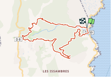

6,5 km | 7 km-effort


Benutzer


Kostenlosegpshiking-Anwendung
 SityTrail
IGN / Geografische Institute
SityTrail World
Die Welt öffnet sich für Sie
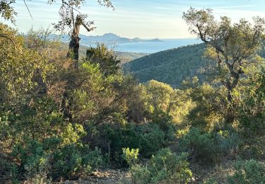
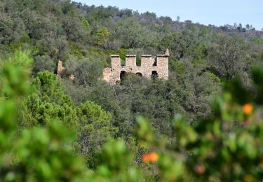
Tour Wandern von 12,2 km verfügbar auf Provence-Alpes-Côte d'Azur, Var, Roquebrune-sur-Argens. Diese Tour wird von leopold.claude vorgeschlagen.
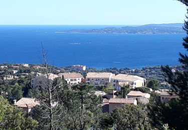
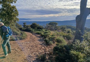
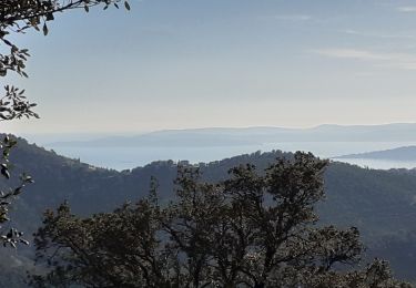
Belle randonnée facile avec des points de vue superbes sur la forêt de chênes liège, d'oliviers, de mimosas et le lentisques.

Wandern

Wandern
Wandern
Wandern
Wandern
Wandern
Wandern
Wandern
Wandern