


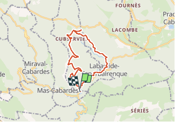

16,1 km | 25 km-effort

Benutzer


Kostenlosegpshiking-Anwendung
 SityTrail
IGN / Geografische Institute
SityTrail World
Die Welt öffnet sich für Sie
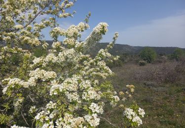
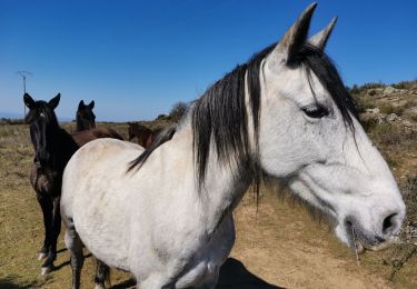
Tour Wandern von 14,8 km verfügbar auf Okzitanien, Aude, Roquefère. Diese Tour wird von chrisgps vorgeschlagen.
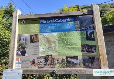
....légèrement raccourcie mais très agréablement, en descendant, à la sortie de Labastide Espérbairenque par le petit chemin vers La Caunelo et l'Arpent au lieu d'aller vers le Roc d'en Galière et les cabanes d'Artigues

Wandern

Wandern
Wandern

Wandern
Wandern

Zu Fuß

Zu Fuß
Wandern