


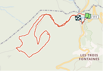


10,1 km | 16,5 km-effort

Benutzer


Kostenlosegpshiking-Anwendung
 SityTrail
IGN / Geografische Institute
SityTrail World
Die Welt öffnet sich für Sie
Tour Wandern von 7,3 km verfügbar auf Auvergne-Rhone-Alpen, Isère, Séchilienne. Diese Tour wird von crocau vorgeschlagen.
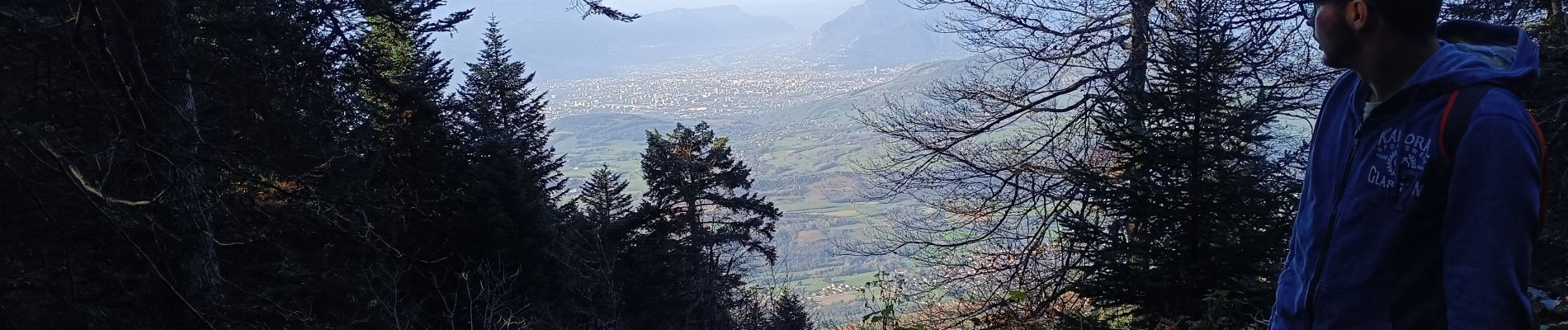
Balade créée par Éric Merlen dans 52 balades autour de Grenoble. C'est une balade facile que l'on peut faire avec des enfants. Pour trouver le pic de l'oeilly il faut bien repérer un cairn juste avant d'arriver. La meilleure saison est à mon avis le printemps pour découvrir une variété de fleurs rares ici.


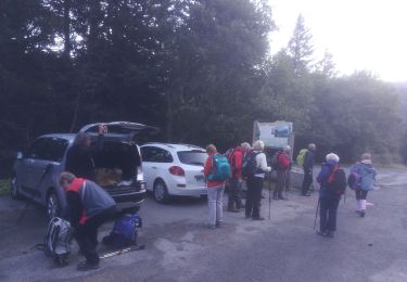
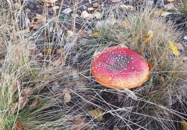
23 Fotos insgesamt. Klicken Sie auf ein Foto, um sie alle in der Galerie zu sehen.
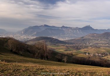
Wandern

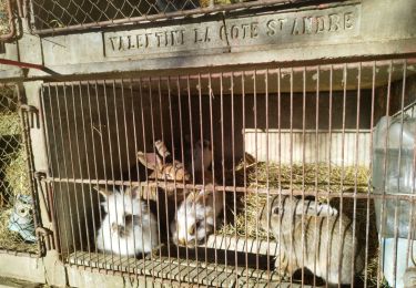
Wandern

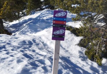
Skiwanderen

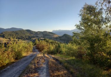
Wandern
Wandern
Wandern
Wandern
Wandern
Wandern