


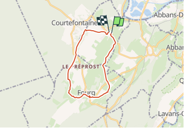

14,2 km | 17,9 km-effort


Benutzer


Kostenlosegpshiking-Anwendung
 SityTrail
IGN / Geografische Institute
SityTrail World
Die Welt öffnet sich für Sie
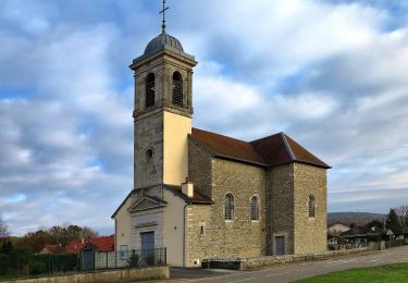
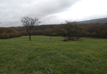
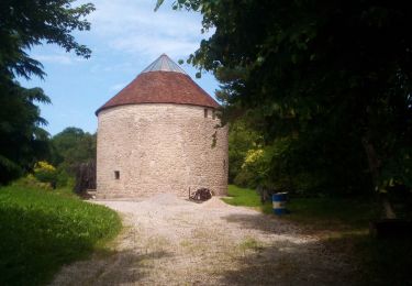
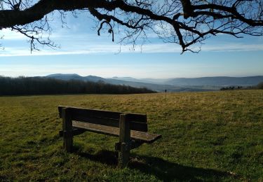
Tour Wandern von 10,8 km verfügbar auf Burgund und Freigrafschaft, Doubs, Villars-Saint-Georges. Diese Tour wird von micbesac vorgeschlagen.
Départ parking gite et église Villars Saint Georges direction Fourge par le GR 59 et retour depuis Fourg sur Villars saint Georges

Wandern
Zu Fuß
Wandern
Wandern
Zu Fuß

Wandern
Wandern
Wandern
Wandern