


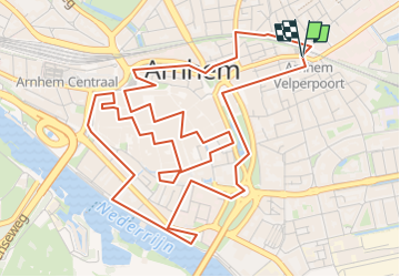

19,7 km | 23 km-effort


Benutzer


Kostenlosegpshiking-Anwendung
 SityTrail
IGN / Geografische Institute
SityTrail World
Die Welt öffnet sich für Sie
Tour Zu Fuß von 7,2 km verfügbar auf Geldern, Unbekannt, Arnheim. Diese Tour wird von Peter Hemme vorgeschlagen.
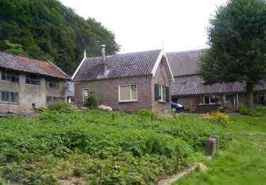
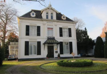
vooral hoogtepunten te bekijken en beleven: kerken, St Jansbeek, historische kelders en heel veel eet en drinkgelegenheden naast culturele bezienswaardigheden....
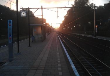
Zu Fuß
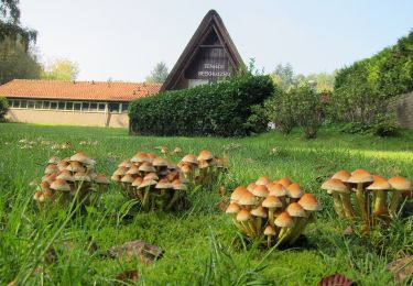
Zu Fuß

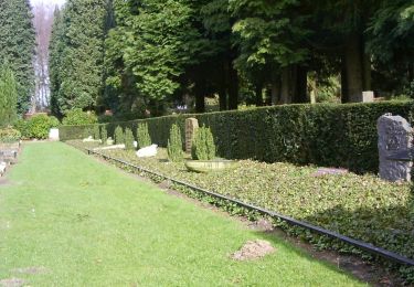
Zu Fuß


Zu Fuß
Zu Fuß
Zu Fuß
Zu Fuß