


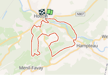

18,4 km | 24 km-effort

Benutzer


Kostenlosegpshiking-Anwendung
 SityTrail
IGN / Geografische Institute
SityTrail World
Die Welt öffnet sich für Sie
Tour Wandern von 9,1 km verfügbar auf Wallonien, Luxemburg, Hotton. Diese Tour wird von dedelph296 vorgeschlagen.
Très belle randonnée où vous pourrez tester votre souplesse et équilibre, notamment sur les 3 premiers kms!
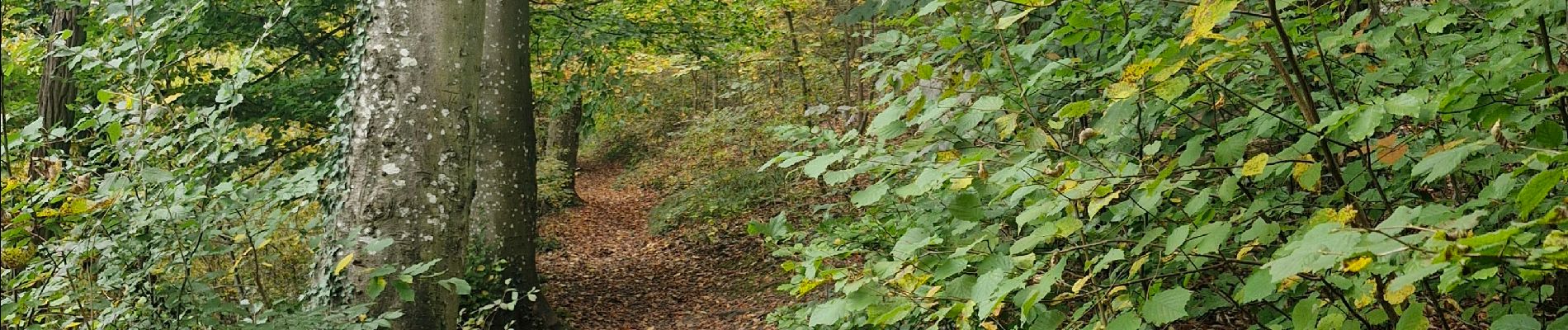
Vous aurez l'occasion de traverser la réserve de l'alouette.
amateurs de champignons, préparez vos paniers😊


Wandern

Wandern

Wandern

Wandern

Wandern

Wandern

Wandern

Wandern
