


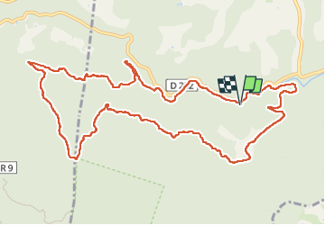

17,2 km | 26 km-effort

Benutzer


Kostenlosegpshiking-Anwendung
 SityTrail
IGN / Geografische Institute
SityTrail World
Die Welt öffnet sich für Sie
Tour Wandern von 14,3 km verfügbar auf Provence-Alpes-Côte d'Azur, Var, Méounes-lès-Montrieux. Diese Tour wird von Daniel.BRUN-PICARD vorgeschlagen.
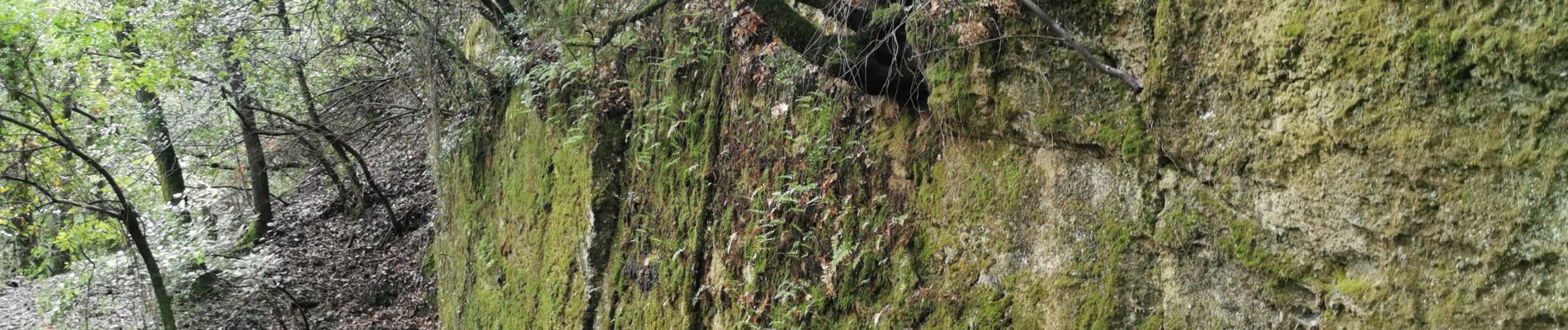
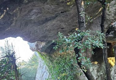
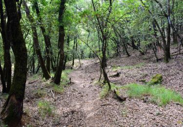
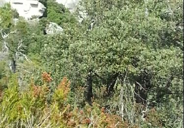
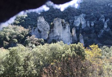
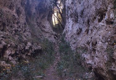
Belle randonnée sur des chemins peu caillouteux, au sein d'une végétation verdoyante et variée. Il y a un petit passage difficile au départ, pour rejoindre le sentier.


Wandern

Wandern
Wandern
Wandern

Wandern
Laufen
Pfad

Wandern

Wandern