


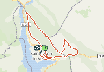

13,7 km | 22 km-effort

Benutzer GUIDE


Kostenlosegpshiking-Anwendung
 SityTrail
IGN / Geografische Institute
SityTrail World
Die Welt öffnet sich für Sie
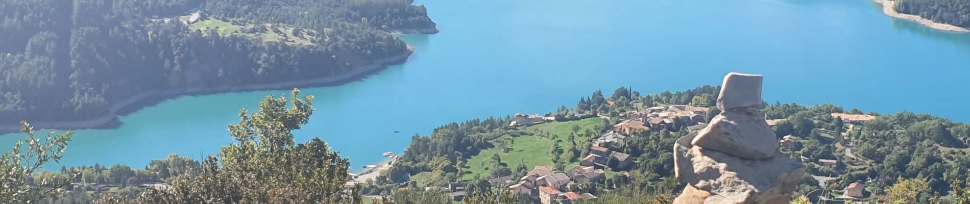
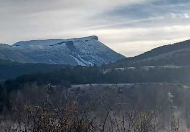
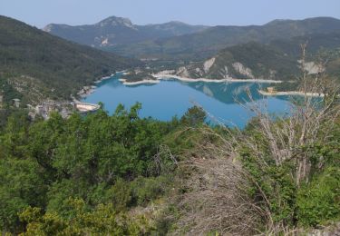
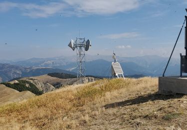
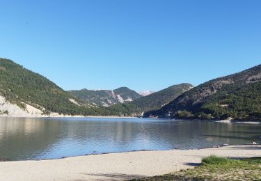
Tour Wandern von 10,5 km verfügbar auf Provence-Alpes-Côte d'Azur, Alpes-de-Haute-Provence, Saint-Julien-du-Verdon. Diese Tour wird von Kargil vorgeschlagen.
Oublier les petits sentiers aux alentours du PR car nouvelle végétation en cours de pousse qui les ont plus ou moins effacé.


Wandern

Zu Fuß

Wandern
Wandern

Andere Aktivitäten
Wandern
Wandern
Wandern

Mountainbike