


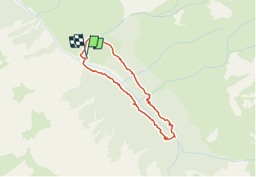

14,5 km | 29 km-effort

Benutzer


Kostenlosegpshiking-Anwendung
 SityTrail
IGN / Geografische Institute
SityTrail World
Die Welt öffnet sich für Sie
Tour Wandern von 3,7 km verfügbar auf Provence-Alpes-Côte d'Azur, Hochalpen, Ceillac. Diese Tour wird von Dervalmarc vorgeschlagen.
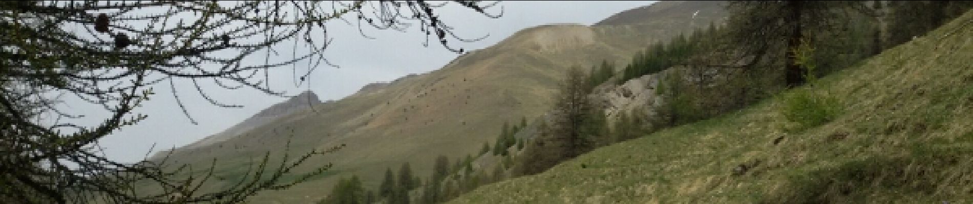
Partis pour faire le lac de Clausis. Celui ci inaccessible cause avalanche nous nous sommes rabattus sur cette petite boucle à faire en famille.


Wandern

Wandern

Andere Aktivitäten

Wandern

Wandern
Wandern

Wandern
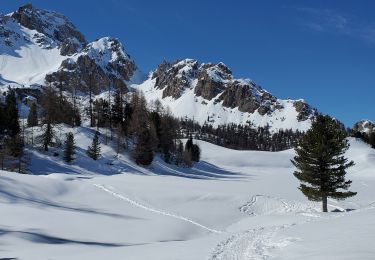
Schneeschuhwandern
Schneeschuhwandern