


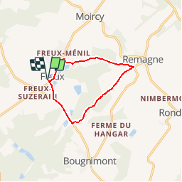


15,6 km | 19,4 km-effort


Benutzer


Kostenlosegpshiking-Anwendung
 SityTrail
IGN / Geografische Institute
SityTrail World
Die Welt öffnet sich für Sie
Tour Wandern von 8,5 km verfügbar auf Wallonien, Luxemburg, Libramont-Chevigny. Diese Tour wird von michel.counotte vorgeschlagen.
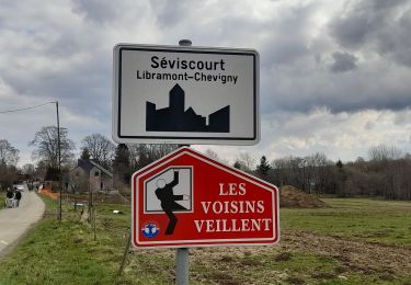
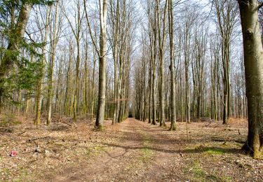
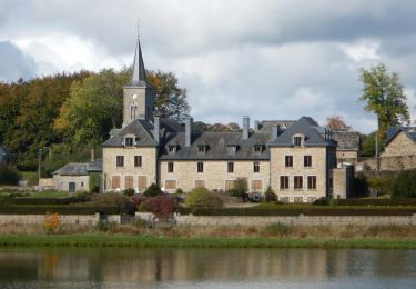
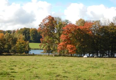
Beaux paysages et traversée de bois. Etant donné les nombreux chemins privés, difficile de faire des parcours variés dans cette région

Wandern
Wandern
Zu Fuß
Wandern
Wandern
Wandern
Wandern
Wandern
Wandern