


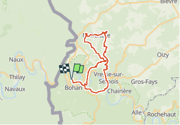


23 km | 33 km-effort

Benutzer


Kostenlosegpshiking-Anwendung
 SityTrail
IGN / Geografische Institute
SityTrail World
Die Welt öffnet sich für Sie
Tour Wandern von 26 km verfügbar auf Wallonien, Namur, Vresse-sur-Semois. Diese Tour wird von Wilfriedper vorgeschlagen.
Belle randonnée avec quelques beau dénivelé mais dans l'ensemble c'est un très beau parcours à travers bois et champ.


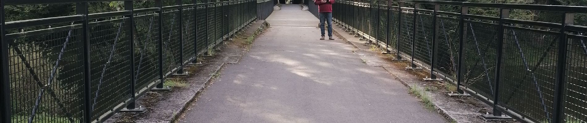
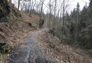
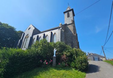
21 Fotos insgesamt. Klicken Sie auf ein Foto, um sie alle in der Galerie zu sehen.

Wandern

Wandern

Wandern

Wandern

Wandern

Wandern

Wandern
Wandern
Wandern