


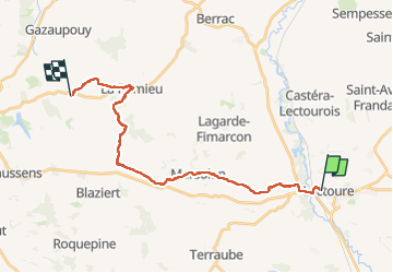

18,8 km | 24 km-effort


Benutzer


Kostenlosegpshiking-Anwendung
 SityTrail
IGN / Geografische Institute
SityTrail World
Die Welt öffnet sich für Sie
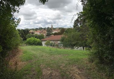
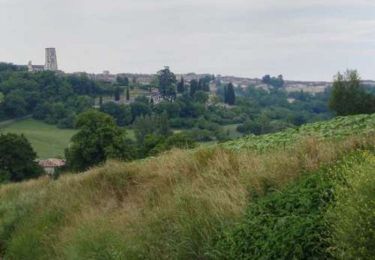
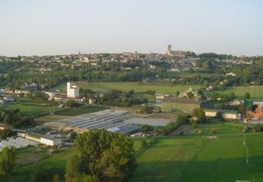
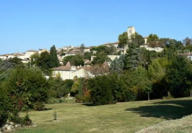
Tour Wandern von 27 km verfügbar auf Okzitanien, Gers, Lectoure. Diese Tour wird von Nono55 vorgeschlagen.
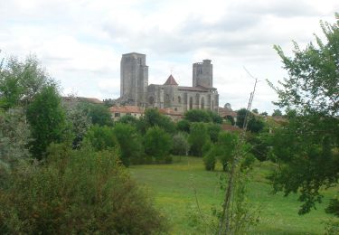
Petite étape 23 km vallonné quelques montée sèches .Village de Lectoure et Romieu magnifique arrêt au gîte L encre tenue pas des jeunes sympa
Wandern
Wandern
Wandern

Wandern
Wandern
Wandern
Wandern
Wandern

Wandern