


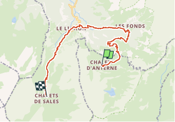

19,8 km | 37 km-effort

Benutzer


Kostenlosegpshiking-Anwendung
 SityTrail
IGN / Geografische Institute
SityTrail World
Die Welt öffnet sich für Sie
Tour Wandern von 15,7 km verfügbar auf Auvergne-Rhone-Alpen, Hochsavoyen, Passy. Diese Tour wird von Greg813 vorgeschlagen.
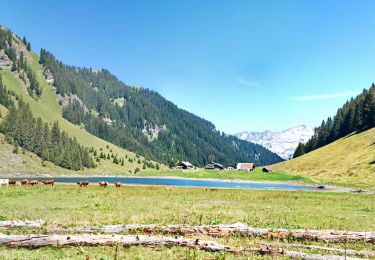
Trek de 3 jours dans le massif des Fiz.
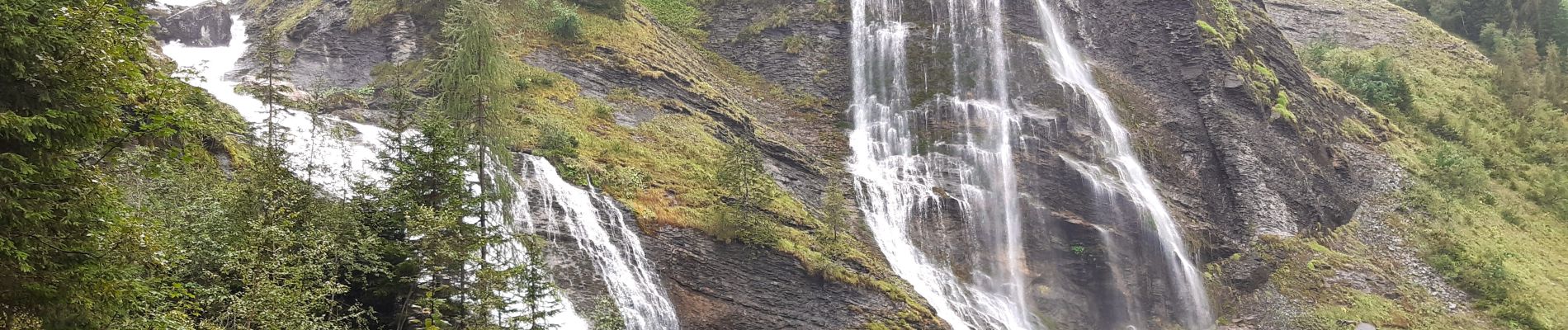
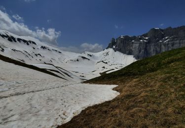
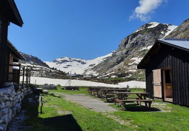
Etape 2 : Du refuge Alfred Willis à celui de Sales, par les Fonts et les cascades.


Wandern

Wandern

Wandern

Wandern

Wandern

Wandern
Wandern
Wandern
Wandern