


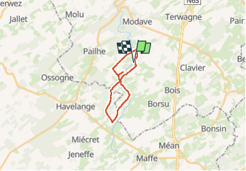


17,1 km | 21 km-effort

Benutzer


Kostenlosegpshiking-Anwendung
 SityTrail
IGN / Geografische Institute
SityTrail World
Die Welt öffnet sich für Sie
Tour Wandern von 16,9 km verfügbar auf Wallonien, Lüttich, Clavier. Diese Tour wird von guyernage25 vorgeschlagen.
très belle rando condruzienne
ATTENTION : le retour de Pâtit Avin vers Les Avins devra impérativement se faire par le révélation (sentier sur la rive gauche du Hoyoux supprimé


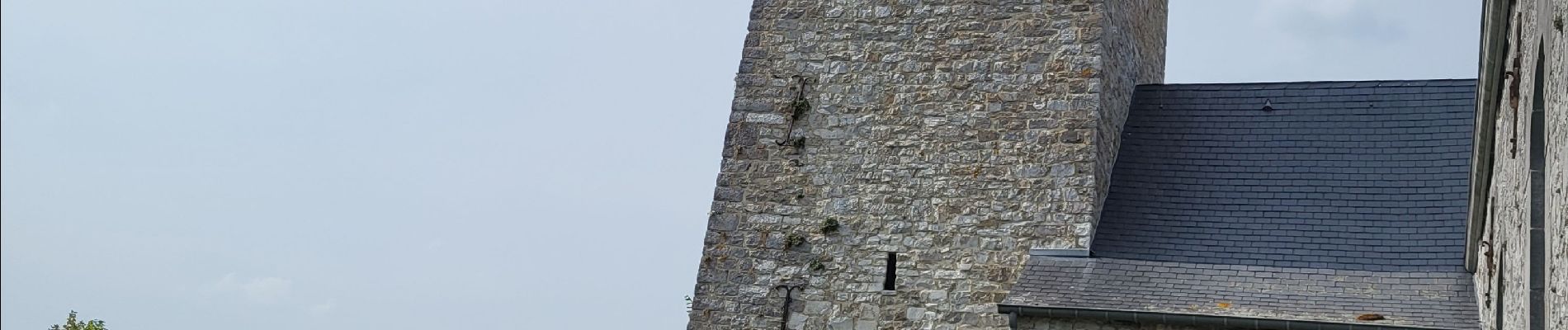
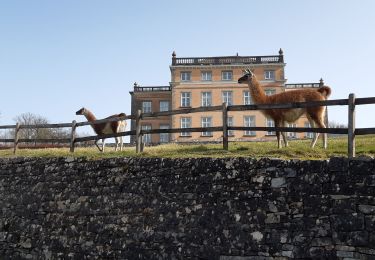
33 Fotos insgesamt. Klicken Sie auf ein Foto, um sie alle in der Galerie zu sehen.

Wandern

Wandern

Wandern

Wandern

Wandern

Wandern

Wandern

Wandern
Wandern