


7,3 km | 12,3 km-effort

Benutzer


Kostenlosegpshiking-Anwendung
 SityTrail
IGN / Geografische Institute
SityTrail World
Die Welt öffnet sich für Sie
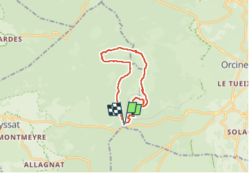
Tour Wandern von 11,5 km verfügbar auf Auvergne-Rhone-Alpen, Puy-de-Dôme, Ceyssat. Diese Tour wird von dauzata vorgeschlagen.
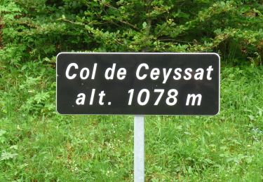
Départ/Arrivée: Parking du col de Ceyssat
Sommets:
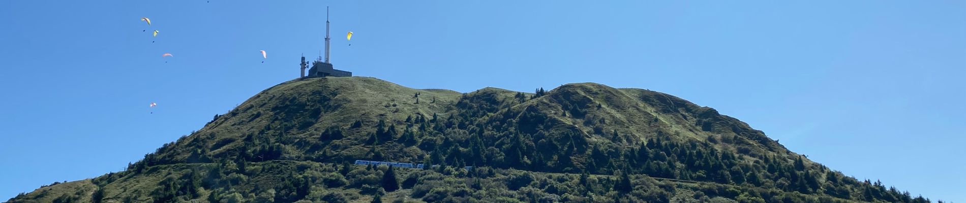
Puy-de-Dôme (1465m)
Petit Suchet (1198m)
Grans Suchet (1231m)


Wandern

Wandern

Wandern

Wandern

Wandern

Wandern

Zu Fuß
Zu Fuß
Zu Fuß