


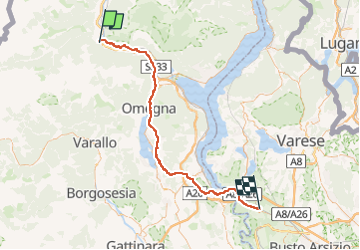


4,5 km | 12,7 km-effort


Benutzer


Kostenlosegpshiking-Anwendung
 SityTrail
IGN / Geografische Institute
SityTrail World
Die Welt öffnet sich für Sie
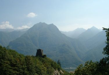
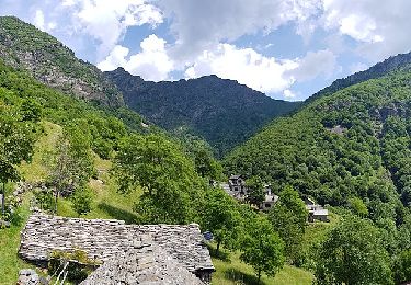
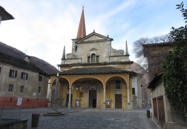
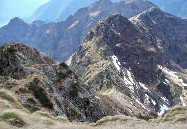
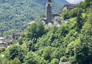
Tour Radtourismus von 73 km verfügbar auf Piemont, Verbano-Cusio-Ossola, Pieve Vergonte. Diese Tour wird von m.devil vorgeschlagen.
Projet
Zu Fuß
Zu Fuß
Zu Fuß
Zu Fuß
Zu Fuß
Zu Fuß
Zu Fuß
Wandern
Zu Fuß