


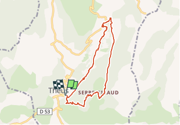

6,7 km | 13,4 km-effort

Benutzer


Kostenlosegpshiking-Anwendung
 SityTrail
IGN / Geografische Institute
SityTrail World
Die Welt öffnet sich für Sie
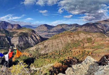
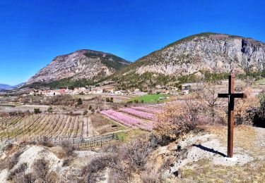
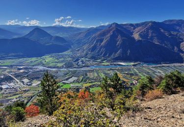
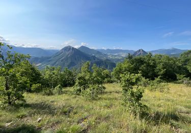
Tour Wandern von 7,5 km verfügbar auf Provence-Alpes-Côte d'Azur, Hochalpen, Théus. Diese Tour wird von Fabichette vorgeschlagen.
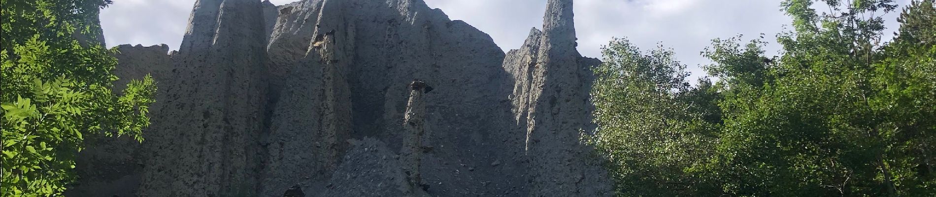
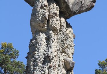
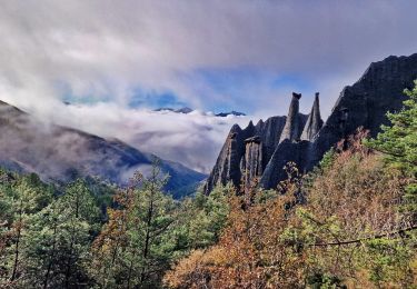
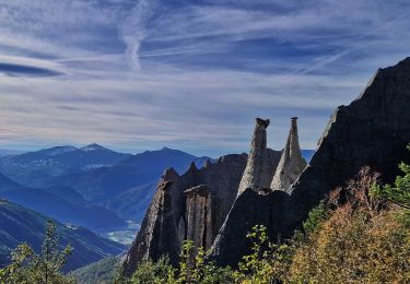
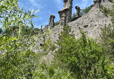
Belle randonnée un peu difficile au début avec cette curiosité géologique que sont « Les demoiselles coiffées ».


Wandern
Wandern
Wandern
Wandern
Wandern
Wandern

sport
Wandern
Elektrofahrrad
Belle randonnée assez difficile au début car ça monte sec et longtemps. Le paysage est très joli tout autour et les demoiselles coiffées sont vraiment une belle curiosité géologique.