


 - Photo 21")
 - Photo 22")
 - Photo 23")

10,8 km | 13,8 km-effort

Benutzer


Kostenlosegpshiking-Anwendung
 SityTrail
IGN / Geografische Institute
SityTrail World
Die Welt öffnet sich für Sie
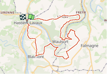
Tour Wandern von 22 km verfügbar auf Wallonien, Namur, Hastière. Diese Tour wird von dauzata vorgeschlagen.
Départ/Arrivée: Eglise St-Nicolas de Hastière-Lavaux
ATTENTION: au km 13.5 traversée de la Meuse par Bac, possible uniquement de début avril à fin septembre
 - Photo 1")
 - Photo 2")
 - Photo 3")
 - Photo 4")
 - Photo 5")
 - Photo 6")
 - Photo 7")
 - Photo 8")
 - Photo 9")
 - Photo 10")
 - Photo 11")
 - Photo 12")
 - Photo 13")
 - Photo 14")
 - Photo 15")
 - Photo 16")
 - Photo 17")
 - Photo 18")
 - Photo 19")
 - Photo 20")
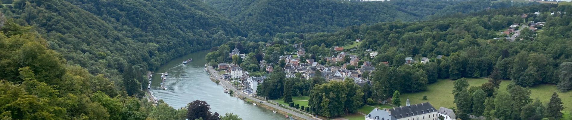
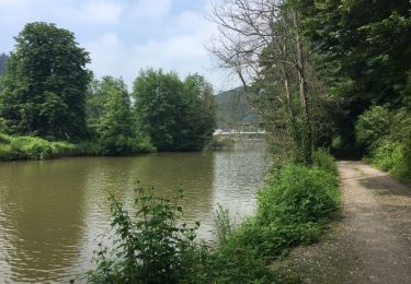
23 Fotos insgesamt. Klicken Sie auf ein Foto, um sie alle in der Galerie zu sehen.

Wandern

Wandern

Wandern

Wandern

Wandern

Wandern

Wandern
Wandern