


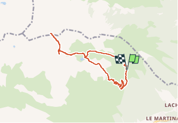

63 km | 92 km-effort


Benutzer


Kostenlosegpshiking-Anwendung
 SityTrail
IGN / Geografische Institute
SityTrail World
Die Welt öffnet sich für Sie
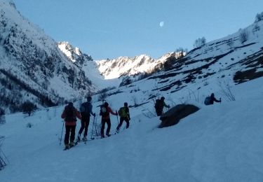
Tour Wandern von 8,3 km verfügbar auf Auvergne-Rhone-Alpen, Savoyen, Saint-Colomban-des-Villards. Diese Tour wird von loicthev vorgeschlagen.
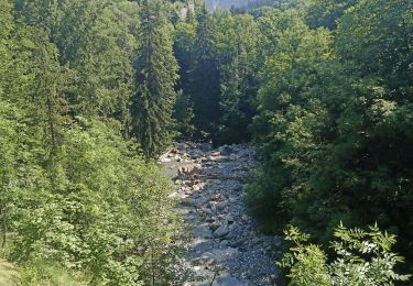
rando Lac et col des Balmettes col du Villonet
13/08/2024
Alexandre Guillaume
Rennrad
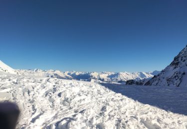
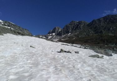
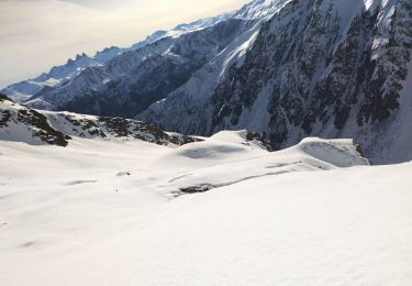
Skiwanderen
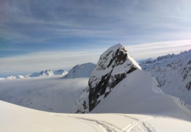
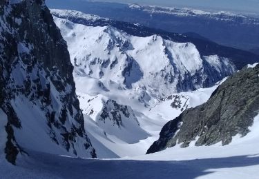
Skiwanderen
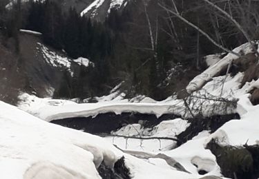
Schneeschuhwandern
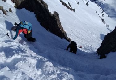
Skiwanderen
Skiwanderen
Skiwanderen
Skiwanderen
Skiwanderen