


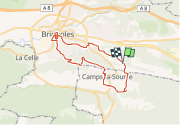


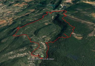
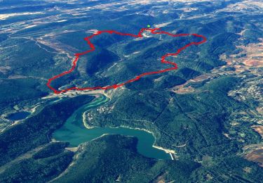
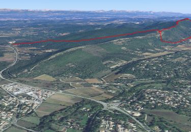
15,3 km | 22 km-effort

Benutzer GUIDE


Kostenlosegpshiking-Anwendung
 SityTrail
IGN / Geografische Institute
SityTrail World
Die Welt öffnet sich für Sie
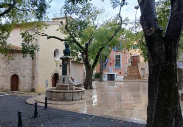
Tour Wandern von 16,3 km verfügbar auf Provence-Alpes-Côte d'Azur, Var, Brignoles. Diese Tour wird von affinetataille vorgeschlagen.
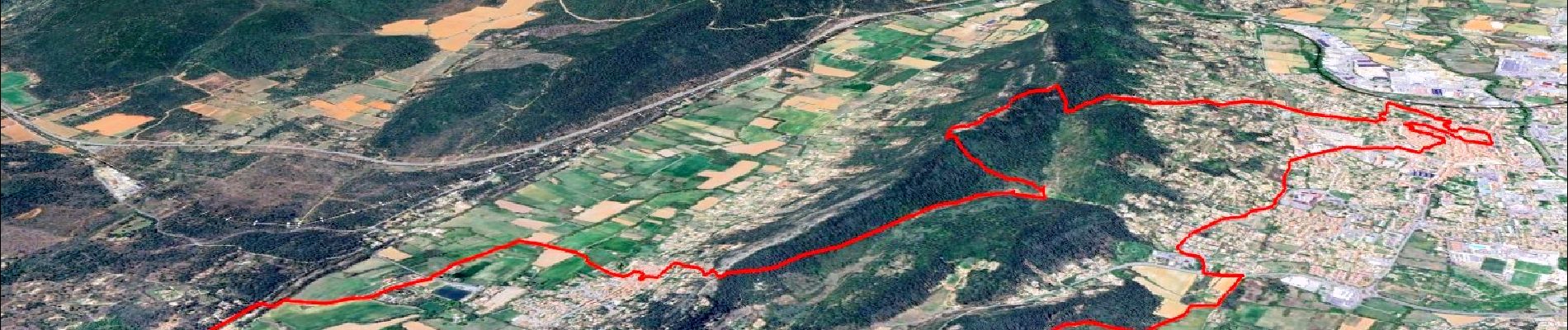
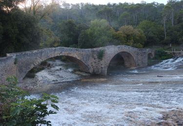
Belle balade , belles surprises dans le vieux Brignoles.
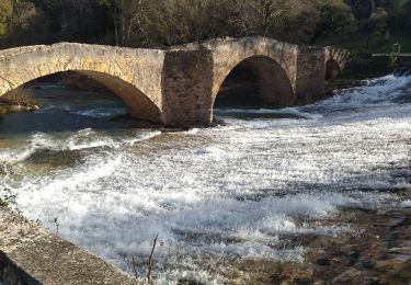
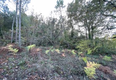
Un peu trop de "goudron"... mais la sortie est riche en paysages et découvertes.


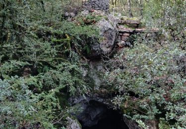
32 Fotos insgesamt. Klicken Sie auf ein Foto, um sie alle in der Galerie zu sehen.
Wandern
Wandern
Wandern
Wandern

sport
Wandern
Wandern

Wandern
Wandern