


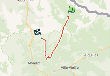

15,2 km | 31 km-effort


Benutzer


Kostenlosegpshiking-Anwendung
 SityTrail
IGN / Geografische Institute
SityTrail World
Die Welt öffnet sich für Sie
Tour Wandern von 16,9 km verfügbar auf Provence-Alpes-Côte d'Azur, Hochalpen, Cervières. Diese Tour wird von loicthev vorgeschlagen.
tour du Queyras jour 5
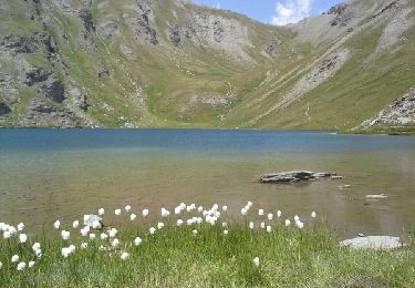
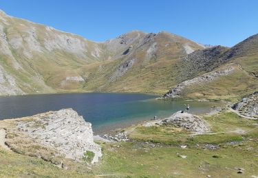
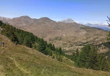
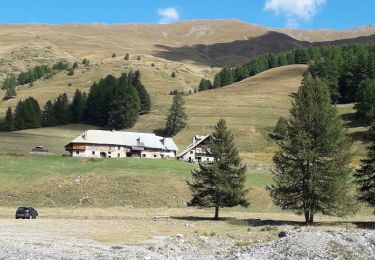
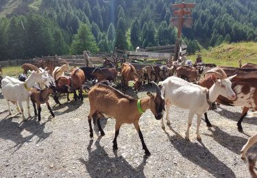
Les fonts de Cervières > col de Péas > Souliers > Lac de Souliers
05/08/2024
Alexandre

Wandern

Wandern
Wandern
Wandern
Skiwanderen
Wandern
Wandern
Wandern
Wandern