


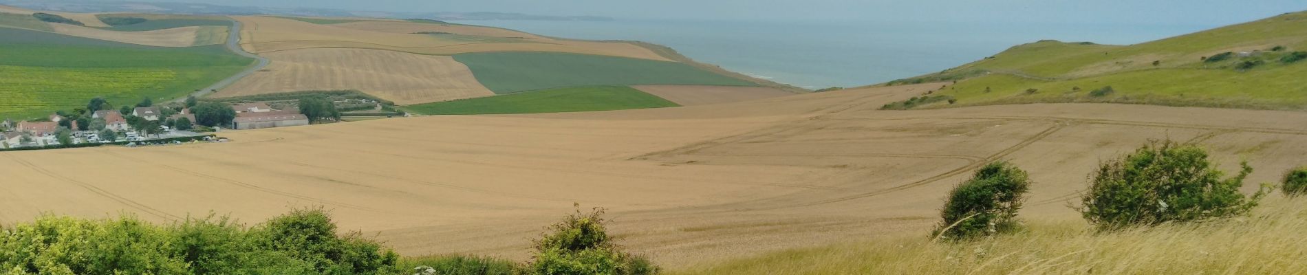
 - Photo 21")
 - Photo 22")
 - Photo 23")
 - Photo 24")
 - Photo 25")
 - Photo 26")
 - Photo 27")
 - Photo 28")
 - Photo 29")

14,3 km | 0 m-effort

Benutzer


Kostenlosegpshiking-Anwendung
 SityTrail
IGN / Geografische Institute
SityTrail World
Die Welt öffnet sich für Sie
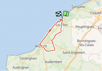
Tour Wandern von 19 km verfügbar auf Nordfrankreich, Pas-de-Calais, Sangatte. Diese Tour wird von Godasses et Grosses Pattes vorgeschlagen.
Belle boucle de 19km terre et mer,
attention vous devez connaître les horaires de marée pour ne pas être coincé au pied des falaises .
les chiens sont interdits même en laisse à beaucoup d'endroits plage ville... et oui triste ils ne sont pas les bienvenus 😥 même en ville !!!
ils sont autorisés sur le parcours que j'ai tracé ,
très peu de poubelle sur le trajet
et trop de mode en juillet et août.
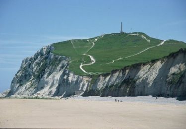
 - Photo 1")
 - Photo 2")
 - Photo 3")
 - Photo 4")
 - Photo 5")
 - Photo 6")
 - Photo 7")
 - Photo 8")
 - Photo 9")
 - Photo 10")
 - Photo 11")
 - Photo 12")
 - Photo 13")
 - Photo 14")
 - Photo 15")
 - Photo 16")
 - Photo 17")
 - Photo 18")
 - Photo 19")
 - Photo 20")
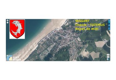
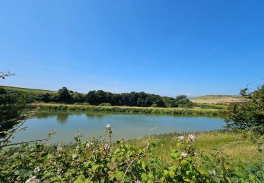
29 Fotos insgesamt. Klicken Sie auf ein Foto, um sie alle in der Galerie zu sehen.

Wandern

Wandern

Wandern

Wandern
Wandern

Wandern
Wandern
Wandern
Wandern