


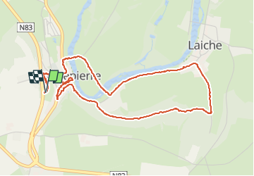


18 km | 22 km-effort

Benutzer GUIDE


Kostenlosegpshiking-Anwendung
 SityTrail
IGN / Geografische Institute
SityTrail World
Die Welt öffnet sich für Sie
Tour Wandern von 5,2 km verfügbar auf Wallonien, Luxemburg, Florenville. Diese Tour wird von Desrumaux vorgeschlagen.
Jolie balade au départ du village de Chassepierre classé parmi les plus beaux villages de Wallonie.
Départ parking du point de vue sur la N83


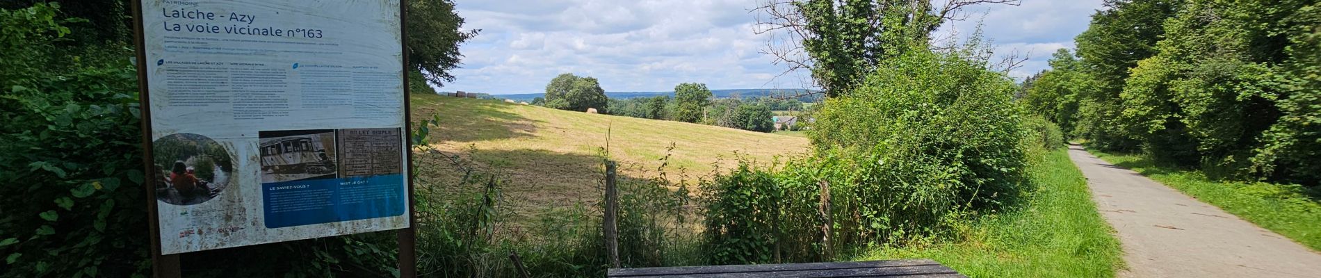
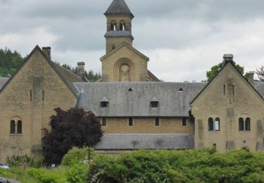
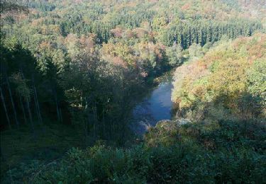
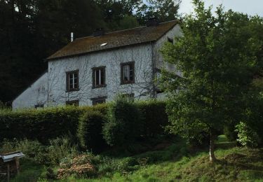
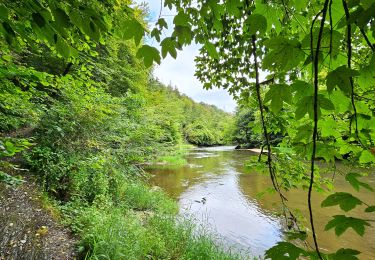
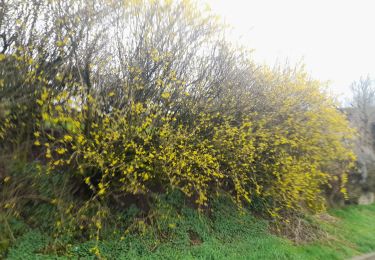
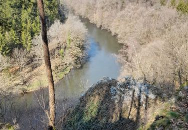
26 Fotos insgesamt. Klicken Sie auf ein Foto, um sie alle in der Galerie zu sehen.
Wandern
Wandern

Wandern
Wandern

Wandern

Wandern
Wandern
Wandern
Wandern