


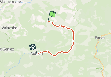

15,2 km | 28 km-effort


Benutzer


Kostenlosegpshiking-Anwendung
 SityTrail
IGN / Geografische Institute
SityTrail World
Die Welt öffnet sich für Sie
Tour Reiten von 18,6 km verfügbar auf Provence-Alpes-Côte d'Azur, Alpes-de-Haute-Provence, Bayons. Diese Tour wird von AnaisLambert vorgeschlagen.
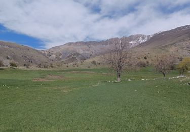
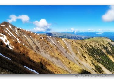
Quelques passages étroits dans les marnes.
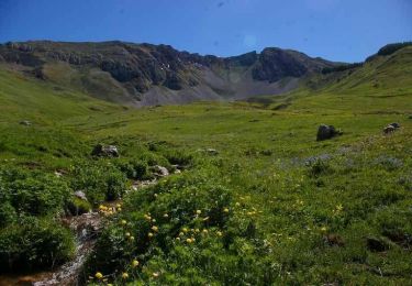
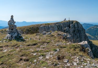
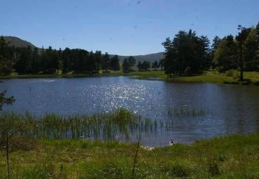
Montée vers le Lac des Monges avec de nombreuses marches.

Wandern
Wandern
Wandern
Zu Fuß
Wandern
Wandern

Wandern
Wandern
Wandern