


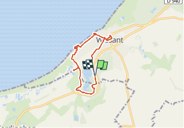

15,2 km | 17,6 km-effort

Benutzer GUIDE


Kostenlosegpshiking-Anwendung
 SityTrail
IGN / Geografische Institute
SityTrail World
Die Welt öffnet sich für Sie
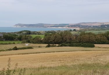
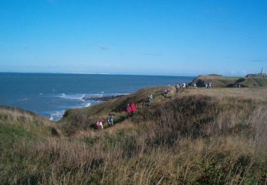
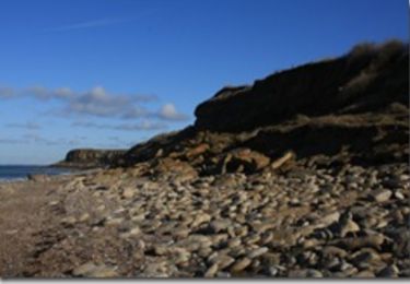
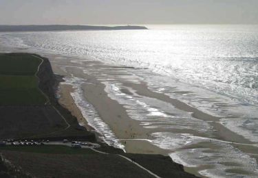
Tour Wandern von 5,5 km verfügbar auf Nordfrankreich, Pas-de-Calais, Wissant. Diese Tour wird von mumu.larandonneuse vorgeschlagen.
Très beau parcours pour découvrir Wissant.
Avec quelques modifications :
- digue interdite aux 🐕 (amende de 135€), passage par les rues parallèles
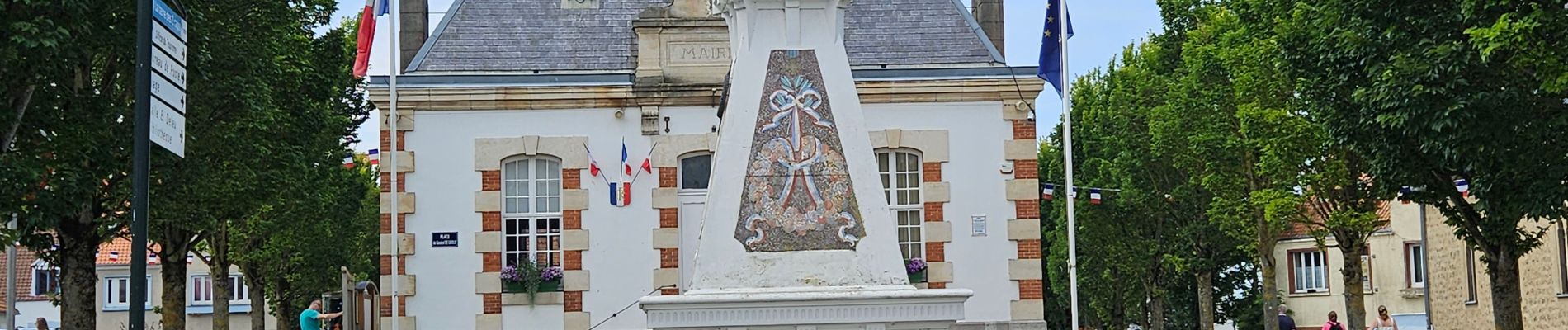
- découverte de la mairie et son centre
➡️ parcours balisé
⏱️ Mode cool arrêts : 2h30


Zu Fuß

Wandern

Wandern

Wandern
Wandern
Wandern

Wandern
Wandern

Wandern