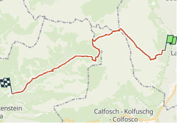


12,5 km | 26 km-effort


Benutzer GUIDE


Kostenlosegpshiking-Anwendung
 SityTrail
IGN / Geografische Institute
SityTrail World
Die Welt öffnet sich für Sie
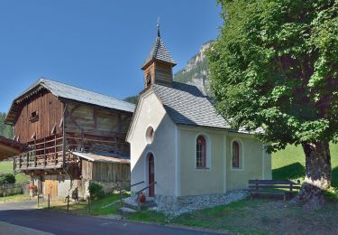
Tour Wandern von 13,8 km verfügbar auf Trentino-Südtirol, Bozen, Abtei. Diese Tour wird von jouans vorgeschlagen.
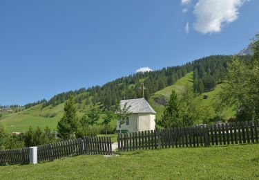
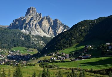
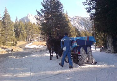
J7 du trek traversée des Dolomites
Refuge Puez Parking Saint Sylvestre Val Gardena


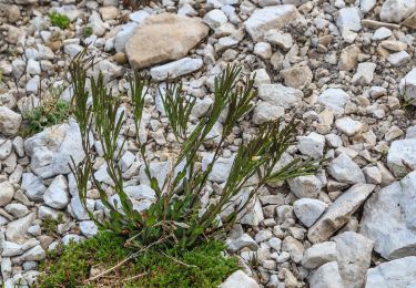
21 Fotos insgesamt. Klicken Sie auf ein Foto, um sie alle in der Galerie zu sehen.
Zu Fuß


Zu Fuß
Zu Fuß