


10,5 km | 19,6 km-effort


Benutzer


Kostenlosegpshiking-Anwendung
 SityTrail
IGN / Geografische Institute
SityTrail World
Die Welt öffnet sich für Sie
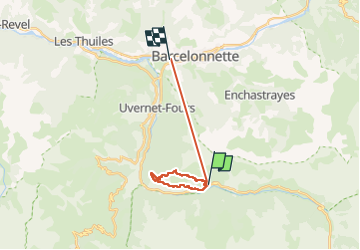
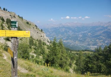
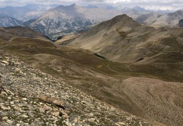
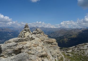
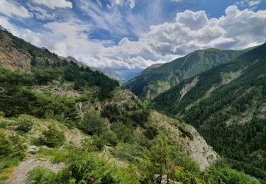
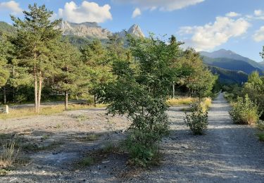
Tour Wandern von 17,3 km verfügbar auf Provence-Alpes-Côte d'Azur, Alpes-de-Haute-Provence, Uvernet-Fours. Diese Tour wird von charollois vorgeschlagen.
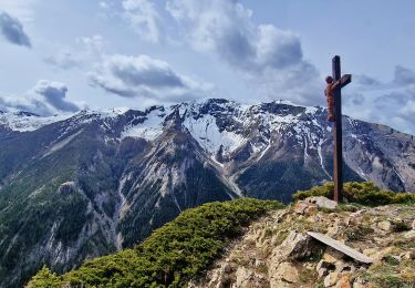
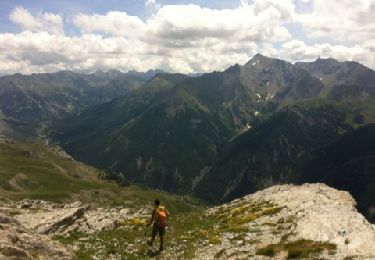
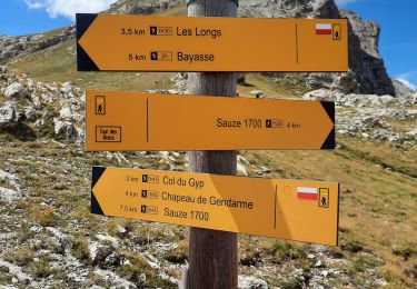
Très Agréable rando avec des pentes raides, des sentes en sous bois, des prairies fleuries, la vue sur le chapeau de gendarme.
Wandern
Wandern
Wandern
Wandern
Wandern
Wandern
Wandern
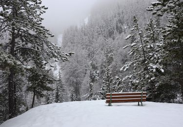
Schneeschuhwandern
Wandern