


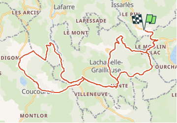

72 km | 91 km-effort


Benutzer


Kostenlosegpshiking-Anwendung
 SityTrail
IGN / Geografische Institute
SityTrail World
Die Welt öffnet sich für Sie
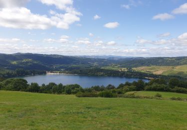
Tour Mountainbike von 31 km verfügbar auf Auvergne-Rhone-Alpen, Ardèche, Issarlès. Diese Tour wird von jm.lemore vorgeschlagen.
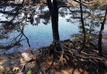
l'essentiel du parcours est facile, sauf le retour au pont où la fin du GR a de la pente et des gros cailloux. cette partie se descend bien, mais pas sur le vélo pour un débutant.
très fun pour ceux qui maîtrisent un peu de technique en descente.
Rennrad
Laufen
Wandern

Zu Fuß
Wandern
Wandern

Mountainbike
Mountainbike

sport