


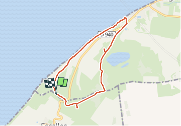

14,3 km | 0 m-effort

Benutzer GUIDE


Kostenlosegpshiking-Anwendung
 SityTrail
IGN / Geografische Institute
SityTrail World
Die Welt öffnet sich für Sie
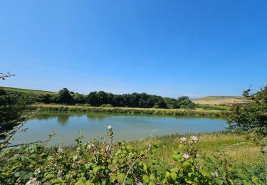
Tour Wandern von 6,7 km verfügbar auf Nordfrankreich, Pas-de-Calais, Sangatte. Diese Tour wird von dudu42 vorgeschlagen.
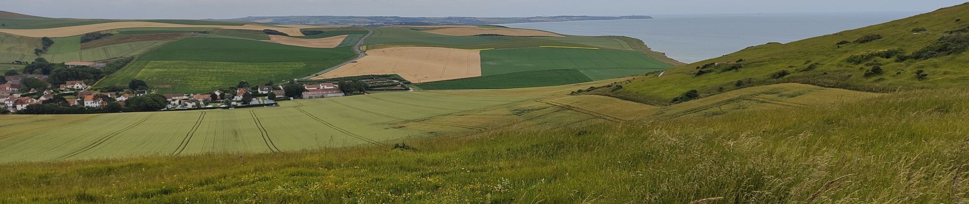
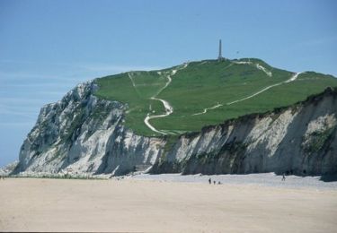
beau parcours avec de belles vues environnantes.
Peu de monde (hors saison et temps humide)
Chiens a tenir en laisse.


Wandern

Wandern

Wandern

Wandern
Wandern

Wandern
Wandern
Wandern
Wandern