


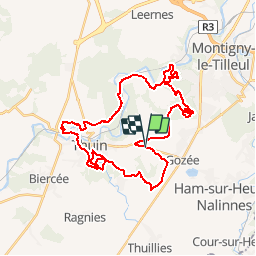


7,8 km | 9,9 km-effort

Benutzer GUIDE


Kostenlosegpshiking-Anwendung
 SityTrail
IGN / Geografische Institute
SityTrail World
Die Welt öffnet sich für Sie
Tour Mountainbike von 34 km verfügbar auf Wallonien, Hennegau, Thuin. Diese Tour wird von pascalou73 vorgeschlagen.
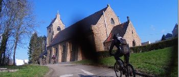
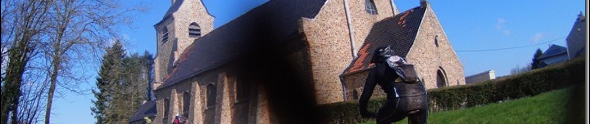
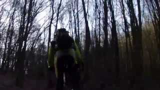
Une région faite pour le vtt avec un déniveler très agréable et très beaux bois. Ce vtt va vous faire découvrir la région avec un passage pas l'Abbaye d'Aulnes


Wandern

Wandern

Wandern

Wandern

Wandern

Wandern

Wandern

Wandern

Wandern